
Future of Karst Research
Hidden deep beneath our feet, the vast network of unexplored limestone caverns remains one of the final frontiers on Earth. While explorers have mapped miles of tunnels, we have likely only discovered a tiny fraction of the world’s true subterranean volume.
Advancing Modern Geological Exploration
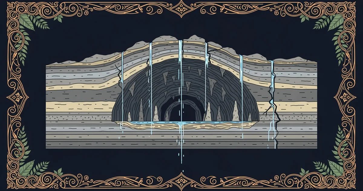
Future research into these systems relies on new technology that allows us to see through solid rock without digging. Scientists currently use geophysical imaging to map voids by measuring how electrical currents or sound waves travel through the ground. This process is like using a medical ultrasound to look at a hidden organ, but instead of soft tissue, the sensors detect the density of limestone versus air-filled gaps. As this technology improves, researchers will be able to identify massive cave systems that have no natural surface openings for humans to enter. By combining these scans with satellite data, we can finally predict where the next great discovery lies waiting beneath the surface.
Key term: Geophysical imaging — a non-invasive method of mapping underground structures by measuring physical properties like density and electrical resistance from the surface.
These advancements change how we view the relationship between surface water and deep cave development. We previously learned that acidic groundwater creates these voids, but we now understand that climate change alters these flow patterns significantly. Future studies will focus on how shifting rainfall cycles change the rate of cave growth over time. We must track these changes to protect the delicate ecosystems that thrive in the dark, as they act as early warning systems for our surface water quality.
Integrating Data for Future Discovery
Predicting where new caves will form requires us to synthesize data from multiple scientific fields. We can look at the historical data from sites like Mammoth Cave to understand how long these systems take to develop under specific conditions. By applying these models to new areas, we can identify regions with high potential for hidden passages. The following table highlights the key factors that researchers use to narrow down their search for undiscovered cave systems:
| Factor | Importance | Data Source |
|---|---|---|
| Rock Type | High | Geological maps |
| Water Flow | High | Hydrology reports |
| Surface Shape | Medium | Satellite imaging |
| Climate History | Medium | Core sample logs |
Integrating this information allows us to build a digital map of the world that highlights areas where the ground is most likely to hollow out. This collaborative approach ensures that we do not waste time exploring areas where the rock is too dense or the water flow is too low. We are moving from a time of random exploration to a time of precise, data-driven discovery that saves resources and protects the environment.
Explorers now face the challenge of accessing these deep systems without damaging the fragile formations found inside. We must develop robotic drones that can navigate narrow, wet, and dark tunnels while transmitting data back to the surface. These machines will act as the eyes and ears of the scientific community in places that are currently too dangerous for human divers or climbers. As we refine these tools, the dream of mapping the entire underground world becomes a realistic goal for the next century of research. The solid ground beneath our feet is not just a static layer of dirt; it is a dynamic, changing world that we are finally learning how to read.
Future cave exploration will shift from physical digging to remote sensing, allowing us to map hidden underground networks using advanced technology and predictive data modeling.
Understanding how karst systems evolve helps us protect the vital groundwater resources that millions of people rely on every single day.