
Resource Exploration Methods
When mining companies in Nevada began searching for gold in the mid-nineties, they faced a massive challenge because the ore was buried under thick layers of volcanic rock. They could not simply dig at random to find these hidden deposits because the costs of drilling blind holes would bankrupt their entire operation before finding a single ounce. This scenario is a practical application of seismic reflection from Station 10, where we learned how sound waves bounce off different rock layers to reveal the structure of the earth below our feet. By measuring the time it takes for these sound waves to return to the surface, geologists create detailed maps that pinpoint exactly where valuable minerals might be hiding.
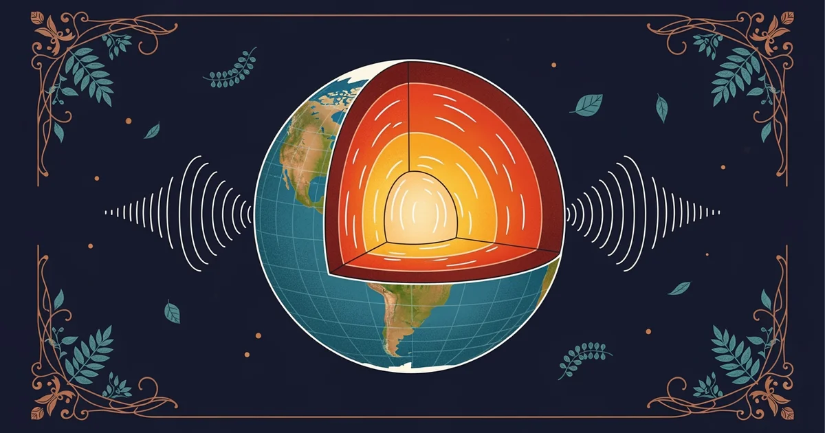
Using Sound Waves to Map Hidden Mineral Deposits
Geologists use sound waves to see through the solid rock that covers the surface of our planet. They place specialized trucks on the ground that vibrate the earth to send energy pulses deep into the crust. These waves travel downward until they hit a boundary between two different types of rock, causing some energy to reflect back upward to surface sensors. This process acts much like a medical ultrasound that reveals a hidden image without needing to perform surgery on the patient. By analyzing the speed and strength of these returning signals, experts can identify the density of the underground layers.
Key term: Seismic reflection — the method of using sound waves to map subsurface geological structures by measuring how energy bounces off different rock layers.
Analyzing this data requires a high level of precision because the signals often arrive at different times and strengths. If a geologist sees a sudden change in the speed of the wave, it often indicates a contact point between two distinct rock formations. Mineral veins frequently form at these specific contact points where hot fluids once moved through cracks in the earth. Finding these locations allows companies to focus their drilling efforts on a small target rather than wasting resources on vast areas of empty rock. This approach to exploration is similar to a shopper using a metal detector on a sandy beach to find lost coins instead of digging up the entire shoreline.
Interpreting Data Maps for Resource Extraction
Once the seismic data is collected, it must be converted into visual maps that represent the underground environment. These maps function as a three-dimensional guide for engineers who must decide where to place their equipment for maximum efficiency. Different colors on the map signify various rock densities, which helps the team distinguish between barren rock and potential mineral deposits. This process is essential for reducing the environmental impact of mining because it limits the total amount of land that must be disturbed during the exploration phase.
When reviewing these maps, geologists look for several key indicators to determine if an area is worth the high cost of extraction:
- Structural traps are areas where rock layers have folded or faulted in ways that catch and hold mineral-rich fluids as they move upward through the crust.
- Density contrasts occur when a heavy ore body sits next to lighter surrounding rock, creating a clear signal shift that stands out on a seismic map.
- Fault zones represent deep cracks in the earth that provide a pathway for mineral-rich solutions to travel from the hot mantle toward the cooler surface.
These indicators provide a roadmap for where to drill. If a map shows a combination of a structural trap and a major fault line, the probability of finding a significant mineral deposit increases dramatically. Engineers then use this information to plan their drilling path, ensuring that they reach the target depth with the least amount of resistance from the surrounding geology. This strategy saves time and money by ensuring that every drill bit is placed in a location with the highest possible chance of success.
Applying seismic data allows geologists to visualize hidden underground structures and target mineral deposits with precision instead of relying on expensive and inefficient guesswork.
But this model breaks down when the geological layers are too complex for sound waves to penetrate clearly.