
Wave Reflection Principles
Imagine you are standing in a large, empty stone hall while you shout a loud greeting toward a distant wall. The sound waves travel through the air until they hit the solid surface and bounce back to your waiting ears. This common experience of an echo shows how energy moves through space and interacts with different materials. Scientists use this same principle to map the hidden interior of our planet by listening for bouncing signals. Since we cannot drill to the center of the earth, we rely on these signals to act as our eyes in the dark. By tracking how waves travel and return, we build a picture of the layers beneath our feet.
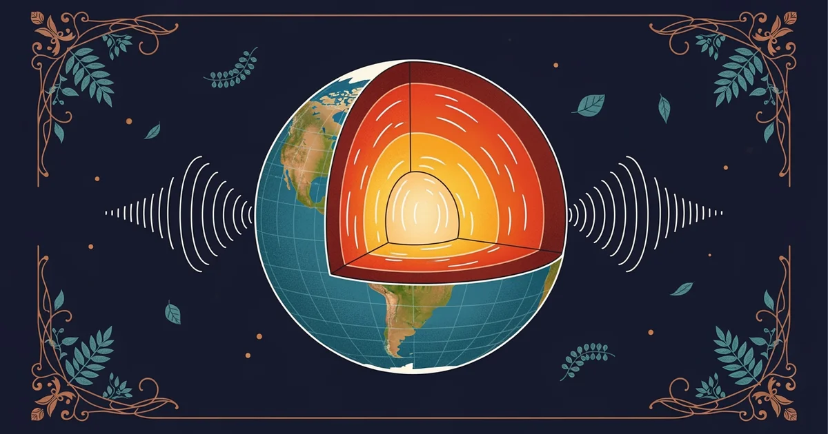
The Mechanics of Seismic Reflection
When powerful energy sources trigger vibrations on the surface, they send waves deep into the crust. These seismic reflection waves act like a flashlight beam hitting a mirror in a pitch-black room. As the waves move downward, they encounter boundaries between different rock types or layers with varying densities. Each boundary acts like a wall in our stone hall analogy, reflecting a portion of the energy back toward the surface. Sensors placed across the ground capture these returning echoes, recording the exact time each signal arrives back at the surface. By analyzing these arrival times, researchers calculate the depth of the layers that caused the reflection.
Key term: Seismic reflection — the process where energy waves bounce off boundaries between different underground rock layers to reveal their depth and composition.
To understand this process, think of a business owner checking their inventory by sending out a signal to see what returns. If the owner sends a request for data and receives a reply quickly, they know the information source is nearby. If the reply takes a long time to arrive, they conclude the source is much further away. Similarly, geologists measure the time it takes for seismic waves to travel down and back up. Shorter travel times indicate shallow boundaries, while longer travel times reveal deeper structures. This simple timing logic allows us to map the complex, layered interior of our planet without ever touching it.
Analyzing Wave Data Patterns
Beyond simple timing, the way these waves change when they bounce provides vital clues about the materials they hit. Some rock layers reflect more energy than others, creating stronger or weaker signals on our recording equipment. We organize these patterns to identify the specific nature of the underground environment. The following table shows how different subsurface conditions affect the behavior of these reflected waves during a standard survey.
| Feature Type | Wave Speed | Reflection Strength | Interpretation |
|---|---|---|---|
| Dense Rock | High Speed | Strong Bounce | Solid Foundation |
| Porous Rock | Low Speed | Moderate Bounce | Fluid Storage |
| Fractured Zone | Variable | Weak/Scattered | Unstable Layer |
By carefully comparing these signals, we can distinguish between solid rock, liquid pockets, or gas deposits hidden deep underground. Each signal acts as a data point that helps us refine our model of the crust. We must account for the angle of the waves to ensure our depth calculations remain accurate during the interpretation process. If the waves hit a boundary at an angle, they might reflect away from our surface sensors entirely. This requires us to use complex math to reconstruct the true path of the energy. The goal remains consistent: translate the echo into a clear map of the earth.
- Data Collection: Sensors record the arrival times of reflected waves across a wide area of the surface.
- Signal Filtering: Computers remove background noise to isolate the specific echoes bouncing from deep underground boundaries.
- Depth Calculation: Scientists multiply the travel time by the estimated speed of the waves to find the distance.
- Model Creation: The calculated depths are plotted to create a visual cross-section of the hidden earth layers.
This methodical approach turns raw vibrations into a detailed map of the planet. We use these models to understand everything from plate movement to the location of natural resources. Every echo brings us closer to a complete understanding of our world.
Understanding how waves bounce off underground boundaries allows us to map the hidden structure of the earth using time and reflection data.
The next Station introduces seismic tomography, which determines how wave speed variations reveal the internal temperature of the planet.