
Resource Exploration
When mining engineers in the Chilean Andes search for copper, they do not just dig random holes into the rocky mountainside. They rely on subtle shifts in the Earth's pulling force to reveal what lies hidden deep beneath the surface layers of solid stone. This process uses the physical principles of gravity to map out density changes that indicate valuable metal deposits. By measuring these tiny variations, teams can pinpoint massive ore bodies without ever breaking the surface ground.
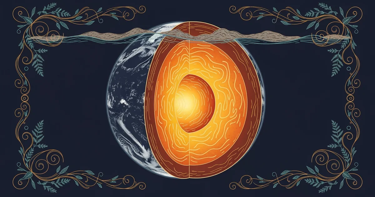
Gravity Anomalies and Subsurface Mass
Geophysicists track these hidden treasures by studying gravity anomalies, which represent differences between expected and observed gravitational pulls at a specific location. If a dense metal deposit sits underground, it exerts a slightly stronger pull than the surrounding lighter rock layers. This is similar to how a heavy bowling ball placed on a trampoline causes a deeper dip than a light tennis ball would. By using sensitive tools called gravimeters, experts measure these microscopic changes in the local gravitational field. These readings help create a map of the hidden architecture inside the crust.
Key term: Gravimeter — a precision instrument designed to measure the minute variations in the Earth's gravitational pull at a specific geographic location.
Interpreting Geophysical Data Patterns
Once the data collection finishes, analysts look for patterns that suggest high-density materials might be present under the site. They compare their field measurements against a baseline model of a uniform Earth to isolate the specific signals of interest. A positive anomaly usually indicates a high-density body like iron or copper, while a negative anomaly might suggest lighter materials like salt or gas. This application of physics builds directly on the seismic imaging concepts taught in Station 11, where we visualized subsurface structures using sound waves. Now, we use mass distribution to confirm what those sound waves might have hinted at earlier.
To better understand these density signals, consider the typical characteristics of common geological features found during exploration efforts:
- Massive Sulfide Deposits: These dense metallic zones create strong positive gravity signals because their mineral content is significantly heavier than the host rock.
- Sedimentary Basins: These areas often show negative gravity anomalies because the loose, porous soil and sand layers are much less dense than basement granite.
- Igneous Intrusions: These hardened magma bodies often display complex gravity signatures that depend on the specific mineral composition and the cooling history of the rock.
Managing Exploration Uncertainties
Exploration teams must remain careful because multiple geological factors can produce the exact same gravity signature in the field. A dense iron deposit and a dense volcanic rock formation might look identical on a basic gravity map. Therefore, geophysicists often combine gravity data with magnetic surveys to narrow down the potential candidates for a drill site. This multi-layered approach reduces the financial risk of drilling in the wrong location. The following table compares how different survey methods help identify potential resource sites by looking at various physical properties.
| Survey Method | Physical Property | Best For Identifying | Potential Limitation |
|---|---|---|---|
| Gravity | Density | Metallic Ores | Non-unique signals |
| Magnetic | Susceptibility | Iron/Nickel Ores | Surface interference |
| Seismic | Elasticity | Oil and Gas Traps | High equipment cost |
By integrating these diverse data sets, engineers create a high-fidelity model of the subsurface environment. This process transforms raw numbers into a clear, actionable map for resource extraction. Every measurement brings the team closer to finding the hidden resources that power our modern technology and infrastructure needs.
Successful resource exploration relies on detecting subtle density variations within the crust to locate valuable materials hidden from view.
But this model faces significant challenges when the target deposit is buried under extremely thick, complex layers of volcanic rock.