
Global Circulation Cells
When a pilot flies a long-distance route from London to New York, the plane often encounters fierce headwind resistance that slows travel times significantly. This experience is a direct application of the global circulation patterns first explored in Station 12, where we examined how local storm systems influence regional weather. The atmosphere operates like a massive heat engine that moves warm air from the equator toward the freezing poles. This constant motion creates predictable paths for wind that shape the climate of every continent on Earth.
Understanding the Hadley Cell Mechanics
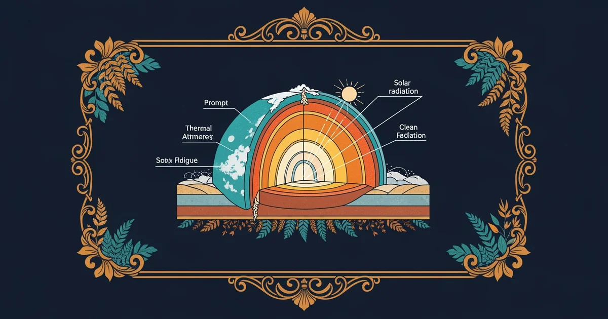
The most prominent feature of this heat engine is the Hadley cell, which dominates the tropics by cycling air between the equator and the subtropics. Solar energy heats the surface at the equator, causing air to rise rapidly and create a low-pressure zone. As this air reaches high altitudes, it spreads toward the poles and cools down, becoming dense enough to sink back to the surface. This sinking air creates high-pressure belts that form the world's major deserts, such as the Sahara, by preventing cloud formation and rainfall. The air then flows back toward the equator to restart the cycle, acting much like a conveyor belt in a factory that transports thermal energy across thousands of miles.
Key term: Hadley cell — the primary tropical atmospheric circulation pattern that moves warm air from the equator to thirty degrees latitude.
Mapping Global Wind Belts
These circulation patterns interact with the rotation of the planet to create consistent wind zones that sailors and pilots rely upon daily. Because the Earth rotates faster at the equator than at the poles, moving air masses appear to deflect to the right in the Northern Hemisphere. This phenomenon, known as the Coriolis effect, forces air into specific paths rather than allowing it to flow in a straight line. The atmosphere organizes these movements into three distinct zones of circulation in each hemisphere:
- The tropical trade winds blow steadily from the east toward the equator, providing consistent power for sailing vessels traveling across the Atlantic Ocean.
- The mid-latitude westerlies flow from the west toward the east, pushing weather systems across North America and Europe with reliable strength.
- The polar easterlies emerge from the high-pressure caps at the poles, moving cold air toward the mid-latitudes where it clashes with warmer air masses.
| Circulation Cell | Latitude Range | Primary Wind Direction | Surface Pressure |
|---|---|---|---|
| Hadley | 0 to 30 degrees | Trade Winds | Low to High |
| Ferrel | 30 to 60 degrees | Westerlies | High to Low |
| Polar | 60 to 90 degrees | Polar Easterlies | Low to High |
Connecting Cells to Climate
The interaction between these cells dictates the rainfall patterns and temperature ranges found in different regions of the globe. Where cells meet, the atmosphere produces turbulent boundaries that frequently result in storms or shifting seasons for local populations. For example, the border between the Hadley and Ferrel cells creates a dry zone, while the meeting point of the Ferrel and Polar cells often triggers intense cyclonic activity. Understanding these boundaries allows scientists to predict how shifting heat levels might alter global rainfall distribution in the coming decades. If the Hadley cell expands due to warming, the dry zones will likely shift into new territories, changing agricultural viability for millions of people. This system is not static, as it constantly adjusts to the total amount of energy trapped within the atmosphere by greenhouse gases.
Global circulation cells act as a giant thermal transport system that dictates the placement of deserts, forests, and wind patterns by redistributing solar energy across the planet.
But this model becomes much harder to predict when we try to integrate human-made aerosols and rapid shifts in ocean surface temperatures into our current climate models.