Future of Predictive Modeling
Imagine you are trying to find a lost set of keys in a massive, dark house by only using a small flashlight. You would likely search the areas where you usually leave items, such as the table or the hallway, because past behavior guides your current search. Archaeologists face this same challenge when they hunt for ancient settlements buried deep beneath the soil of our modern world. By using data from previous digs, they build models that guess where humans likely lived, worked, and gathered resources centuries ago.
The Evolution of Predictive Accuracy
Predictive modeling started as a simple method for mapping known sites against environmental variables like water access or soil quality. Researchers would manually overlay maps to find patterns that suggested where people might have settled in the past. This early approach relied heavily on human intuition and local historical knowledge to fill in the gaps between known sites. Because these methods were manual, they often missed subtle patterns that existed across larger, more complex landscapes. As computing power grew, archaeologists shifted toward using statistical software to process massive datasets that no human could analyze by hand.
Key term: Predictive modeling — a mathematical technique that uses historical site data to forecast the location of undiscovered archaeological ruins.
This shift changed the field from reactive discovery to proactive planning. Instead of stumbling upon a site during construction, teams can now identify high-probability zones before the first shovel hits the ground. This process is like an investor using historical market trends to predict which stocks might rise in value tomorrow. Just as the investor does not have a crystal ball, the archaeologist knows that their model provides only a statistical probability rather than a guaranteed map. These models continue to refine their accuracy as more data points are added to the digital record.
Integrating Artificial Intelligence
Artificial intelligence represents the next giant leap in how we interpret the hidden history beneath our feet today. Machine learning algorithms can now scan satellite imagery to detect slight changes in vegetation that indicate buried walls or roads. These systems learn from thousands of images, identifying features that might look like natural terrain to the untrained human eye. By automating this visual search, researchers save countless hours and can cover vast regions that were previously impossible to survey. This technology allows for a more comprehensive understanding of how ancient societies occupied entire regions rather than just single spots.
We can summarize the technological shift in archaeological discovery through these three distinct stages:
- Manual Mapping involves drawing circles on paper maps based on human memory and general observations of terrain.
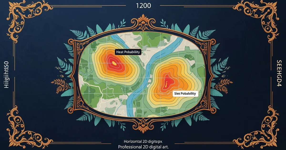
- Statistical Modeling uses computer software to correlate environmental factors with known sites to create probability heat maps.
- Machine Learning utilizes neural networks to analyze complex satellite data and identify subtle surface anomalies automatically.
| Technology Type | Primary Data Source | Main Benefit |
|---|---|---|
| Manual Methods | Paper maps and memory | Low cost and simple |
| Statistical Tools | Geographic databases | Objective site prediction |
| Neural Networks | Satellite imagery | High-speed pattern recognition |
These automated systems will soon allow us to map entire continents with high precision, revealing the true scale of human history. The integration of these tools creates a tension between traditional fieldwork and digital analysis. While some argue that we might lose the human touch, others believe that technology frees us to focus on interpretation rather than just finding sites. We are moving toward a future where the entire surface of the Earth is mapped for archaeological potential. This progress ensures that we protect our shared heritage even as modern cities continue to expand into new territories. The foundation question of how we use past behavior to find hidden sites is answered by these evolving digital tools. By combining historical data with modern computing, we turn guesswork into a precise science that preserves the past for future generations. We now have the ability to see the invisible layers of history that shaped our modern world.
Predictive modeling will increasingly rely on autonomous machine learning to identify hidden ancient sites by analyzing vast environmental datasets that humans cannot process alone.
Archaeology is becoming a data-driven science where technology allows us to reconstruct entire ancient landscapes from digital patterns.