Data Sources for Modeling
Imagine you are trying to find a lost set of keys in a massive, overgrown field. You would likely start by searching near the paths you know you walked yesterday rather than wandering aimlessly across the entire landscape. Archaeological predictive modeling works in this exact same way by using known data to guess where hidden treasures might exist. Without these data sources, archaeologists would be digging blindly into the earth for decades without finding a single significant trace of the past.
The Role of Spatial Data
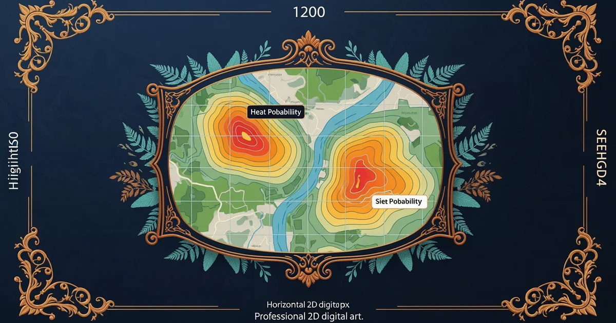
Spatial data provides the essential map for any modeling project by showing where human activity happened in the past. This information often comes from remote sensing, which involves using satellite imagery or aerial photographs to spot subtle changes in soil color or vegetation growth. These visual clues often reveal the outlines of buried walls or ancient roads that are invisible to the naked eye at ground level. Just as a detective uses a map to track a suspect, an archaeologist uses these spatial layers to visualize how ancient people moved across a specific territory.
Key term: Remote sensing — the process of gathering information about the physical landscape from a distance using cameras or sensors mounted on planes or satellites.
Beyond simple pictures, researchers rely on digital elevation models to understand the shape of the terrain. These tools highlight small hills or flat plateaus where people preferred to build their homes to avoid seasonal floods. When you combine imagery with elevation data, you create a powerful filter that narrows down the search area significantly. This process is much like a real estate agent using specific criteria to filter thousands of listings down to the five homes that actually meet a client's needs.
Integrating Historical Records
While spatial data shows us the where, historical records provide the essential context of why people settled in specific regions. These records might include old maps, written accounts of ancient trade routes, or local legends that describe past landmarks. By overlaying this written evidence onto modern maps, experts can confirm if a high-probability area matches the historical descriptions of a bustling town or a quiet farming village. This combination of physical evidence and written history creates a much stronger model than using either source on its own.
To manage this diverse information, researchers categorize their findings into structured datasets that allow for easy comparison across different regions and time periods. The following table outlines how these primary sources differ in their application for predictive modeling:
| Data Source | Primary Purpose | Example Application |
|---|---|---|
| Satellite Imagery | Locating surface anomalies | Identifying buried circular ditches |
| Elevation Models | Assessing site suitability | Finding flood-safe building zones |
| Historical Maps | Contextualizing past zones | Pinpointing old market locations |
| Written Records | Providing cultural context | Verifying names of ancient rivers |
Using these diverse sources ensures that the model remains grounded in both reality and historical accuracy. If you ignore the written history, you might miss the cultural reasons why a group avoided a perfectly flat field. Conversely, if you ignore the spatial data, you might waste time looking for a site that was washed away by a river centuries ago. The best models balance the physical constraints of the land with the social choices made by the people who lived there long ago.
Predictive modeling succeeds when researchers combine physical landscape observations with historical records to create a complete picture of past human settlement patterns.
Building upon these data foundations, we will now examine the statistical methods required to turn this raw information into reliable predictions.