Environmental Variable Selection
Imagine you are planning to build a house in a vast, unknown wilderness area. You would not just pick a random spot because you need access to water, flat ground, and protection from the elements to survive. Archaeologists face this same challenge when they try to find ancient settlements in large, unexplored landscapes. They use environmental variable selection to decide which natural features are most important for predicting where people lived long ago. By narrowing down these factors, they create a map that highlights high-probability zones for finding hidden sites.
Choosing the Right Landscape Factors
When researchers start a model, they have access to many types of data about the land. They look at elevation, distance to water, soil quality, and the slope of the terrain. However, using every single piece of data can actually make the final model less accurate. This problem happens because some variables are irrelevant or they might overlap with each other too much. Selecting the best variables is like packing a suitcase for a long trip where space is limited. You must choose items that provide the most utility for your specific destination while leaving behind the heavy, unnecessary extras.
Key term: Environmental variable selection — the process of identifying and choosing specific landscape features that most strongly influence human settlement patterns in a study area.
If you choose to pack only winter clothes for a trip to a tropical beach, your suitcase is full but useless. Similarly, if an archaeologist chooses variables that do not actually affect how humans lived, the model will fail to predict site locations. They must filter these variables by thinking about the specific culture they are studying. For instance, a farming society prioritizes flat land near rivers, while a hunting group might prefer high ridges for visibility. This filtering step ensures that the model reflects the actual needs of the people who inhabited the region.
Filtering Data for Better Accuracy
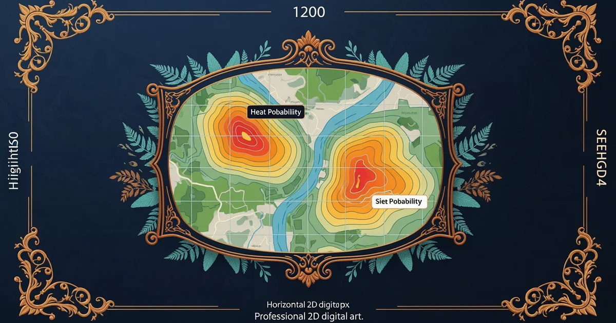
Once the researchers identify potential variables, they must test them to see which ones hold the most predictive power. They often use statistical tools to determine if a variable like slope has a strong relationship with known site locations. If the data shows that most sites sit on gentle slopes, then slope is a high-value variable. If sites appear randomly across all slopes, that variable is likely a poor predictor. This testing process helps archaeologists refine their maps until only the most meaningful environmental factors remain.
To make this selection process clear, researchers often categorize variables based on how they influence human activity. This structure helps them organize their data before they build the final predictive map:
- Resource availability variables track proximity to essential goods like fresh water, fertile soil, or stone for tools, which were critical for long-term survival.
- Accessibility variables measure how easily a location can be reached, as people typically avoided steep cliffs or dense swamps that made travel difficult.
- Visibility variables analyze the view from a location, since ancient groups often chose spots that allowed them to watch for approaching threats or game.
By focusing on these three categories, researchers can build a model that mimics the decision-making process of ancient people. This approach turns raw landscape data into a smart tool for discovery. It allows the team to focus their limited time and money on the areas that are most likely to contain archaeological remains. This method reduces the chance of searching in empty areas and increases the success rate of field surveys significantly.
Selecting the most relevant environmental factors allows archaeologists to filter out noise and focus their search on locations that historically supported human survival.
The next Station introduces historical context analysis, which determines how social and political factors influence the physical choices ancient people made on the landscape.