Refining Model Outputs
Imagine you are searching for a lost set of keys inside a dark, sprawling house. You could search every single inch of the floor, but that method wastes precious time and energy. Instead, you use clues like light patterns or previous habits to narrow your search to the most likely spots. Archaeologists use this same logic when they build models to find ancient sites. They cannot dig up every square mile of the earth, so they refine their data to focus on high-probability zones.
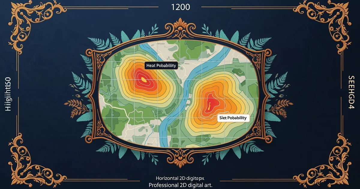
Refining Predictive Logic
When researchers first build a model, they use basic environmental data like water proximity or soil type. These early attempts often produce broad, inaccurate maps that suggest humans lived everywhere across a landscape. To fix this, experts must introduce ground truthing, which involves visiting specific locations to verify if the model predicted correctly. By comparing actual field results against initial digital guesses, the team can identify why the model failed in certain areas. This process acts like a filter that removes noise from the data, leaving only the most reliable indicators of human activity behind. Without this constant loop of testing and updating, a model remains just a guess rather than a useful tool for discovery.
Key term: Ground truthing — the essential process of visiting real-world locations to verify if digital model predictions match the physical archaeological evidence found on site.
Refining these outputs requires looking at how past human behavior interacts with the environment over time. Early models often focused on static features like rivers, but they ignored the dynamic social needs of ancient groups. For example, a group might choose to live near a river for water but stay away during flood seasons. If a model only sees "water," it will incorrectly predict a site in a dangerous marshland. By adjusting the weight of these variables, researchers create a more nuanced map. This refinement ensures that the model reflects the complex decision-making processes of people who lived thousands of years ago.
Optimizing Field Survey Success
Once the team adjusts the model, they must apply it to actual field surveys to see if it improves their search efficiency. This stage involves using statistical weighting to prioritize specific areas that show the highest potential for hidden artifacts. If a model suggests ten high-probability zones, the team ranks them based on historical patterns and current environmental stability. This approach saves resources by preventing teams from digging in places where erosion might have destroyed all evidence. It turns a blind, random search into a deliberate, calculated mission that respects the limited time available to researchers.
To manage these variables, researchers often use a structured approach for prioritizing their survey targets:
- High-probability zones get visited first because they align with established patterns of historical settlement and resource access.
- Medium-probability zones require further testing or newer, more detailed satellite imagery before the team commits expensive field resources.
- Low-probability zones are set aside until the model receives more data, as they currently lack the markers of human presence.
By following this system, the team ensures that every hour spent in the field contributes to a better understanding of the past. This refinement process directly answers our foundation question by showing that we can predict where sites remain hidden. We do this by constantly updating our digital tools with the physical lessons we learn from the ground. As we bridge the gap between abstract math and real soil, our ability to reconstruct lost history grows sharper and more accurate every single year.
Refining predictive models requires a constant cycle of testing digital assumptions against physical evidence to ensure that search efforts focus only on the most promising locations.
The next step involves looking toward the future of predictive modeling to see how new technology will change our ability to map the ancient world.