
Continental Shelf Fragments
Imagine you are walking across a massive, sunken bridge that connects two distant lands. Most of the structure remains hidden deep beneath the rolling waves of the ocean. You only see the highest peaks poking above the surface, appearing as lonely, isolated islands. These landmasses are not random piles of volcanic rock thrown up from the deep sea floor. They are actually the submerged edges of great continents that once stood much higher than they do today. Understanding these fragments helps us map the hidden history of our planet and its shifting crust.
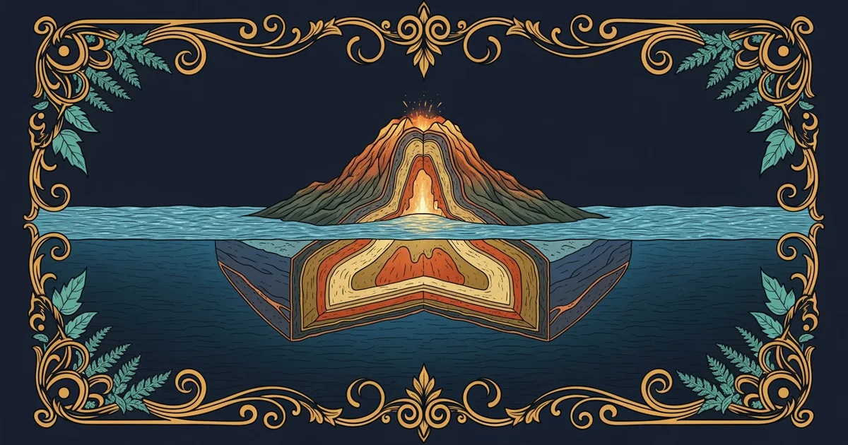
The Anatomy of Continental Fragments
When we look at a map, we often mistake islands for simple, isolated points in the vast blue sea. However, many of these islands belong to the continental shelf, which is the shallow, submerged edge of a larger landmass. Think of this shelf like the wide, flat rim of a dinner plate. The main continent sits in the center, while the shelf extends outward until it drops off into the deep oceanic abyss. When sea levels rise over thousands of years, the water floods the lower parts of this rim. Only the highest points remain above the water, creating what we call continental islands.
These islands share a distinct geological makeup that sets them apart from the rest of the ocean floor. They are composed of thick, buoyant rock types like granite, which act like rafts floating on the denser mantle below. Because they are part of the original continental crust, they often contain ancient minerals and fossils that match the mainland. This connection proves they were never truly separate from the larger landmass. They are simply pieces of a giant puzzle that the rising tides have temporarily hidden from our direct view.
Key term: Continental shelf — the shallow, submerged outer edge of a continent that extends from the shoreline to the deep ocean basin.
To better understand how these islands differ from others, we can compare their origins and their physical traits:
- Continental fragments arise from the gradual sinking or flooding of existing crustal landmasses over long geological time scales.
- Volcanic islands form when molten rock pushes up through the sea floor, building new mountains from the bottom.
- Continental islands typically feature diverse rock types, while volcanic islands are usually made of basalt or similar igneous materials.
Identifying Island Origins
Distinguishing between these two types of islands requires us to look at their composition and location. Continental islands are almost always found near the edges of major landmasses, sitting upon the same shallow shelf. Volcanic islands, by contrast, can appear in the middle of the deep ocean, far from any continent. This distinction is vital for researchers who study how plants and animals reach these remote locations. If an island was once connected to a continent, the species living there likely arrived by walking across the land before the water levels rose.
This process is like a homeowner who discovers that their backyard is actually part of a larger estate. Even if a fence or a stream divides the yard, the soil and the foundation remain the same as the main property. By studying the rocks on these islands, geologists can trace the path of ancient rivers or mountain ranges that now exist under the sea. These fragments act as breadcrumbs, leading us back to a time when the world map looked very different than it does today. We use this evidence to reconstruct the movement of tectonic plates and the slow flooding of our coastlines.
Continental islands are submerged pieces of the original landmass that reveal the ancient, hidden history of our planet's shifting crust.
Our next step involves exploring how intense heat from deep within the earth creates entirely new volcanic islands in the middle of the ocean.