
Urbanization Patterns
Concrete sidewalks and glass skyscrapers replace natural meadows as cities grow outward into the surrounding wild landscape. You likely observe this shift daily when traveling from suburban neighborhoods toward the dense, paved centers of modern metropolitan regions.
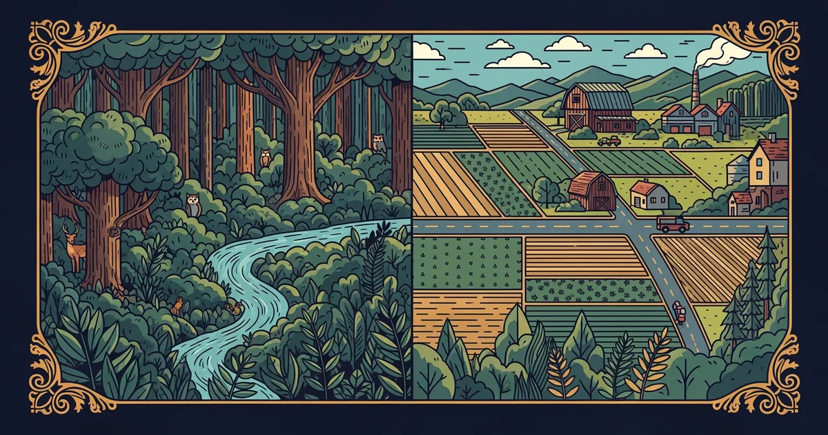
The Mechanics of Urban Expansion
When populations migrate into cities, the physical environment undergoes a permanent transformation to accommodate new residents and businesses. This process, known as urbanization, involves converting permeable land like soil and grass into impermeable surfaces such as asphalt and concrete. Think of this growth like a slow-moving ink spill on a piece of fabric that gradually darkens the pattern underneath. As the city expands, it consumes the natural landscape, effectively sealing the ground beneath layers of human construction. This expansion alters local water drainage patterns because rain can no longer soak into the earth naturally. Instead, water flows over hard surfaces, often carrying pollutants into nearby rivers or streams that were once clean.
Key term: Urbanization — the process of shifting population density toward city centers, resulting in the physical expansion of built environments.
Beyond just covering the ground, cities create their own unique climates through the density of their materials. These materials absorb heat during the day and release it slowly throughout the night, keeping the area warmer. This phenomenon is a common consequence of building large structures close together in a concentrated space. Because these surfaces do not breathe like plants do, the surrounding air remains significantly hotter than in rural areas nearby. This creates a cycle where the infrastructure itself influences the local weather patterns, forcing cities to adapt their designs to manage rising temperatures. Engineers must now plan for this heat when designing new roads or public parks to keep residents comfortable.
Spatial Patterns and Land Use
Urban centers grow in different directions based on geography, transportation access, and historical planning decisions made by local leaders. Most cities follow a distinct pattern of development that radiates outward from a central business district toward the edges. This expansion often creates a complex web of zones that serve different purposes for the people living there.
| Zone Type | Primary Function | Typical Land Coverage |
|---|---|---|
| Central | Commercial focus | High density concrete |
| Suburban | Residential life | Mixed green and paved |
| Industrial | Manufacturing | Large paved facilities |
These zones demonstrate how human activity dictates the layout of the land, creating a mosaic of different surface types. The following list explains how these zones impact the environment:
- The central zone concentrates high-rise buildings which block natural sunlight and alter wind flow patterns across the city streets.
- The suburban zone prioritizes individual housing lots, which increases the total amount of land converted from nature into lawns.
- The industrial zone requires massive parking lots and heavy infrastructure, which creates the most significant barriers to local wildlife movement.
As these zones expand, they often collide with natural ecosystems, forcing local plants and animals to retreat further from the center. This encroachment represents the fundamental way human activity reshapes our planet by prioritizing human utility over existing natural geography. Every new road or building footprint reflects a choice to prioritize human movement or housing over the preservation of the original wild state. Understanding these patterns helps us see why cities look the way they do today. By studying these shapes, we can better predict where future growth might occur and how it will impact the environment. Future planners must balance the need for housing with the need to protect the remaining natural spaces that surround our growing cities.
Human activities reshape the Earth by replacing natural, permeable landscapes with dense, heat-retaining infrastructure that permanently alters local water and climate cycles.
The next Station introduces agricultural expansion, which determines how land use changes to support global food demands.