
Mapping Earth Craters
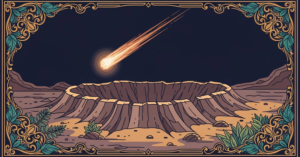
Imagine you are walking through a dense forest and suddenly stumble upon a massive, circular valley that feels completely out of place. Most of the ground you walk on seems normal, but this giant depression tells a story of a violent collision from space long ago.
Identifying Geological Impact Markers
Geologists identify these ancient impact sites by looking for specific signs that do not occur through normal volcanic or tectonic activity. When a space rock strikes the surface at high speeds, it creates a shocked quartz pattern that serves as a permanent fingerprint of the event. This mineral change happens only under the extreme pressure of a massive collision, which forces the crystal structure of the quartz to deform in ways that nature cannot replicate on its own. You can think of this process like a frozen footprint left in the mud after a heavy storm passes through the area.
Key term: Shocked quartz — a distinct microscopic structural change in quartz crystals caused by the intense pressure of a high-speed asteroid impact.
Mapping these sites requires careful study of the surrounding landscape to find evidence of melting or structural upheaval. Scientists look for large circular formations that display clear signs of rapid cooling after the initial heat of the strike. The following list details the primary indicators that researchers use when they survey a potential site to confirm its history:
- Impact melt rocks form when the heat from the collision is so intense that it turns solid stone into liquid, which then cools rapidly into a glassy state.
- Shatter cones appear as distinct, cone-shaped fractures in the bedrock that point directly toward the center of the impact, acting like a directional arrow for researchers.
- Breccia deposits consist of broken rock fragments that were fused together by the force of the strike, creating a jumbled mixture of local and foreign materials.
Mapping Sites Across the Globe
Once researchers find these markers, they map the sites to understand the frequency of impacts throughout Earth's long and complex history. Many older craters are difficult to see because erosion and plate tectonics slowly erase the surface evidence over millions of years. The table below compares how different surface types preserve these ancient scars differently depending on the local environment and the age of the strike.
| Surface Type | Preservation Rate | Primary Erosion Factor | Visibility Level |
|---|---|---|---|
| Sedimentary | Low | Water and wind | Poor |
| Igneous Rock | Medium | Chemical weathering | Moderate |
| Shield Areas | High | Glacial movement | Excellent |
Mapping these craters helps scientists estimate how often large objects hit our planet and what size of rock causes the most significant damage to the environment. The stability of ancient continental shields makes them the best places to hunt for these hidden markers. Because these areas have not changed much for billions of years, they act like a giant, stable canvas that keeps the record of space history intact. When researchers compare the number of craters in these stable zones to the total age of the crust, they can calculate the impact rate with much higher accuracy. This data is vital for understanding the risks we might face from near-Earth objects that travel through our solar system today. By tracking these sites, we gain a better understanding of how the solar system has shaped our world since its formation.
Mapping ancient impact craters allows scientists to reconstruct the history of cosmic collisions by identifying unique geological markers left behind in the Earth's crust.
The next Station introduces extinction events, which explain how these massive impacts change the course of life on our planet.