
Landscape Chronology
When a construction crew digs a deep foundation for a new downtown skyscraper, they slice through layers of soil that reveal the city's hidden history. Each layer of sediment tells a story about the past, much like how a messy desk reveals the order of tasks finished throughout a busy work week. Geologists use these visual clues to determine which events happened first and which ones occurred later in time. This process of figuring out the sequence of past events is known as relative dating. Without this method, the history of our planet would remain a jumbled collection of rocks with no clear timeline to explain their existence.
The Principles of Layering
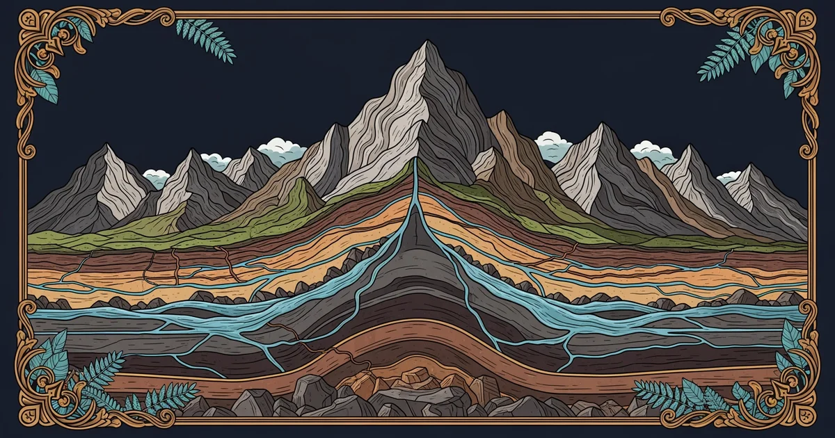
To understand how the earth organizes its history, you must first look at the law of superposition. This rule states that in any undisturbed sequence of rocks, each layer is older than the one above it. Imagine stacking sheets of paper on your desk every single day for a month. The paper you placed down on the first day remains at the very bottom of the pile. The paper you added today sits right on top of everything else. By simply looking at the stack, you can easily tell the order of events without needing to write dates on any of the pages.
Key term: Stratigraphy — the branch of geology that studies rock layers and layering to understand the history of the earth.
Geologists apply this same logic to the landscape to interpret the history of mountains and valleys. They look for specific patterns in the ground to confirm that the bottom layers formed before the surface materials. If they find a layer of volcanic ash buried deep beneath a layer of river sand, they know the volcano erupted long before the river flowed through that specific area. This simple observation allows scientists to build a reliable timeline of geological events across vast areas of the planet.
Interpreting Landscape Changes
Once you grasp the basic order of layers, you can start to analyze how external forces change the landscape over time. Cross-cutting relationships provide another tool to help you date features that disrupt the existing layers. If a crack or a river channel cuts through several layers of rock, that feature must be younger than the layers it disrupts. Think of this like cutting a slice out of a finished cake. You cannot cut the slice until the cake has been baked and placed on the table, meaning the cut is a later event.
| Feature Type | Relative Age | Identifying Clue |
|---|---|---|
| Bottom Layer | Oldest | Positioned at the base |
| Top Layer | Youngest | Positioned at the surface |
| Fault Line | Variable | Cuts through older layers |
These tools help us see that the earth is not a static object but a living, changing system. By applying these methods, we can reconstruct the history of how rivers carved canyons or how glaciers moved across the land. It is like being a detective who arrives at a crime scene long after the event has ended. You must use the position of objects and the signs of disturbance to piece together the sequence of what occurred.
When we look at the landscape today, we are seeing the final result of millions of years of overlapping processes. Each hill, valley, and cliff is a chapter in a very long book. By using the principles of relative dating, we can read these chapters in the correct order to understand the evolution of our world. This work is essential for predicting future changes and managing the land we occupy.
Relative dating allows us to reconstruct the history of the earth by using the position and physical relationships of rock layers to determine their chronological order.
But this model breaks down when tectonic forces flip entire rock sequences upside down, making it difficult to tell which side was originally the bottom.