
Fluvial Systems
Imagine a powerful river cutting through solid rock like a sharp knife slicing through soft butter. This constant motion shapes the landscape by moving vast amounts of sediment from high mountains to low plains. Rivers act as the primary engine for changing the shape of our world over long periods. When water flows downhill, it picks up rocks and soil, using these materials to grind away at the riverbed. This process of wearing down the earth is known as fluvial erosion, and it defines how valleys grow deeper and wider over time. Without this persistent force, many of the dramatic canyons and plains we see today would simply not exist.
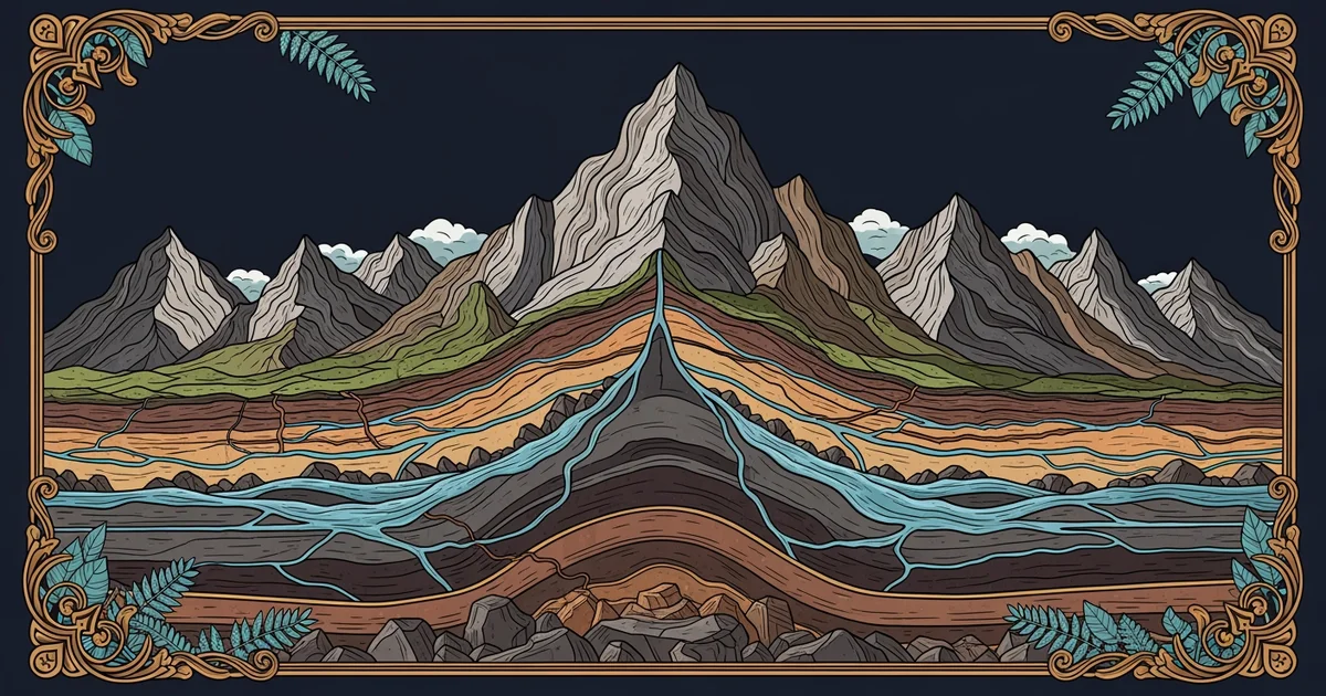
The Mechanics of River Erosion
Water moves across the landscape in a predictable way that follows the path of least resistance. As the water gathers speed, it gains the energy needed to pick up larger particles like pebbles or sand. These particles act like sandpaper against the riverbed, scraping the surface as they move downstream. This mechanical action is similar to how a business manages its inventory, where constant movement and turnover keep the system active and changing. If the river stops moving, the sediment settles and builds up, which halts the erosion process entirely. The speed of the water determines how much material it can carry and how quickly it can carve into the ground below.
Key term: Fluvial erosion — the process by which moving water wears away the earth's surface and transports sediment downstream.
Landforms Created by Moving Water
Rivers create distinct shapes as they interact with the terrain, leaving behind signs of their journey. These landforms vary based on the slope of the land and the volume of water flowing through the channel. You can see how different river stages produce unique features by looking at the following list:
- V-shaped valleys form in the upper reaches of a river where fast water cuts deeply into the ground, creating steep sides that resemble the letter V.
- Meanders develop on flatter ground where the river begins to curve back and forth, allowing the water to erode the outer banks while depositing material on the inner banks.
- Floodplains appear when a river spills over its banks during heavy rain, spreading rich sediment across the surrounding land to create wide and flat areas.
These features show the history of the river, acting like a map that tells us how the landscape has changed. When a river hits a flat area, it slows down and drops its load, which builds up the ground level over many years. This cycle of picking up and dropping material ensures that the earth is always in a state of flux.
Comparing River Stages
We can track the life of a river by observing how its behavior changes from the mountains to the sea. Each stage has a specific role in shaping the environment, as shown in the table below.
| River Stage | Main Feature | Erosion Type |
|---|---|---|
| Upper Course | Steep slopes | Downward cutting |
| Middle Course | Wide meanders | Lateral erosion |
| Lower Course | Broad deltas | Sediment deposition |
In the upper course, the river focuses on deepening its channel to move toward a lower elevation. As it reaches the middle and lower courses, the focus shifts toward widening the valley and depositing sediment. This transition happens as the slope decreases and the river loses the energy required to move large rocks. By understanding these stages, we can predict how a river will affect the land in any given region. The constant interplay between energy and sediment creates the diverse terrain that covers our planet.
The constant movement of water and sediment across the surface of the earth functions as a primary sculptor that creates and modifies our physical landscape.
The next Station introduces glacial landscapes, which determine how ice sheets reshape the terrain through pressure and movement.