
Introduction to Earth Surfaces
Imagine standing on a sandy beach while watching waves slowly reshape the coastline every single day. The ground beneath your feet feels permanent, yet it is part of a constant process. Earth is a giant, living puzzle that changes its shape through many invisible forces. This field of study is known as geomorphology, which looks at how landforms evolve over time. By understanding these shifts, we learn how our planet creates the mountains, valleys, and plains. Every hill and river tells a story about the forces that shaped the surface. These processes move with extreme patience, but they build the world we walk on today.
The Forces That Shape Our World
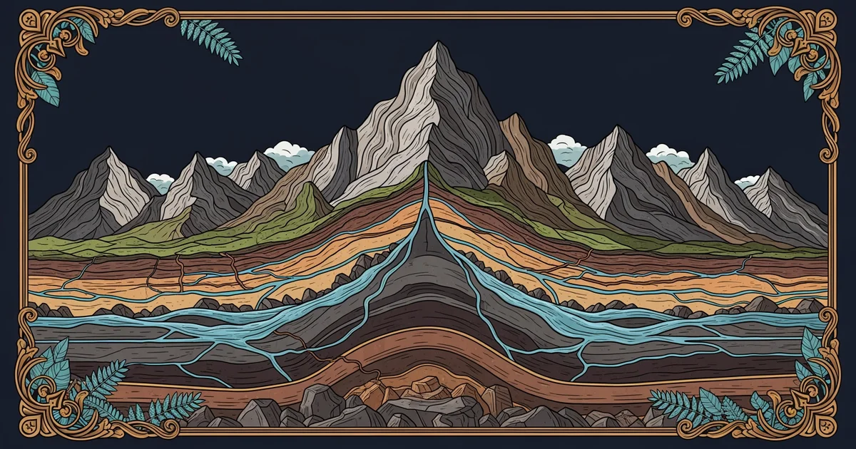
Nature acts like a slow sculptor, carving the Earth into new shapes with steady hands. Think of the planet as a massive, high-stakes construction site that never closes its doors. Some forces build up the land, while others wear it away through constant erosion. You can see this when rain washes soil into a stream during a heavy storm. Over many years, that small stream cuts deep paths through the hardest rock layers. This cycle of building and breaking down is how the planet maintains its complex surface features. We study these changes to see how nature keeps the landscape in a delicate balance.
Key term: Geomorphology — the scientific study of the physical features of the surface of the Earth and their relation to geological structures.
When we look at the surface, we see many different types of landforms that define geography. These features range from high mountain peaks to flat, expansive basins that stretch for miles. Each landform exists because of a specific set of environmental interactions over a long period. Understanding these shapes helps us predict how the land might change in the future. Experts categorize these features based on how they were formed and their current physical makeup. This framework allows us to organize the chaotic appearance of nature into clear, logical patterns.
Classifying Major Landform Types
To better understand the surface, we can group landforms based on their primary physical characteristics. This organization helps us see the variety of structures that make up our global landscape. Each category reflects a unique history of movement, pressure, and weathering across the surface of Earth.
| Landform Type | Primary Process | Typical Example |
|---|---|---|
| Tectonic | Earth movement | High mountains |
| Fluvial | Water action | Deep canyons |
| Aeolian | Wind erosion | Desert dunes |
These categories highlight the diverse ways our planet changes its face over deep time. Tectonic forces push the crust upward, while water and wind slowly smooth the edges. We see the results of these processes everywhere, from the sand in our shoes to the cliffs overlooking the ocean. By identifying these patterns, we can map the history of our planet more effectively. This knowledge allows us to appreciate the massive scale of geological change happening around us.
Understanding these systems is like managing a complex budget where assets grow and shrink constantly. You must account for the deposits of new material and the withdrawals caused by erosion. Just as a bank tracks money, geomorphologists track the movement of rocks and soil. This perspective turns a simple walk outside into a lesson on the history of Earth. We can see the past written in the layers of the ground beneath us. This foundation prepares you to explore how the inner crust creates these surface features.
The surface of our planet is a dynamic result of constant building and erosion cycles that reshape the landscape over time.
By the end of this path, you will understand how the internal and external forces of Earth work together to create the diverse landscapes we inhabit.