
Tectonic Interaction
Imagine a massive, slow-moving conveyor belt that forces continents to crash into each other repeatedly. These giant slabs of rock, known as tectonic plates, act like slow-motion wrecking balls that reshape the planet. When these plates interact, they do not just shift silently; they build mountain ranges and carve deep valleys through constant, forceful movement. This process creates the dramatic relief we see across the globe, turning flat plains into towering peaks over millions of years. Understanding these movements helps us see why the Earth's surface remains in a state of permanent, restless change.
The Mechanics of Plate Interaction
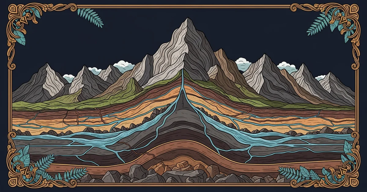
When two tectonic plates collide, they engage in a process called orogeny, which is the mountain-building activity that occurs at convergent boundaries. Think of this like two heavy carpets being pushed toward each other on a polished floor. As the carpets meet, they cannot simply pass through one another, so they crumple and fold upward into ridges. The Earth's crust behaves in a similar fashion, where the immense pressure forces rock layers to bend, break, and thrust toward the sky. This upward force, or uplift, acts as the primary engine for creating high-elevation landscapes that define our continental geography.
Key term: Orogeny — the intense geological process of mountain building caused by the collision and deformation of tectonic plates.
While this crustal uplift builds mountains, a separate process known as denudation works simultaneously to wear them down. Denudation includes all the forces of weathering, erosion, and mass wasting that strip away the newly uplifted rock. If uplift happens faster than erosion, the mountains grow taller and more rugged over time. If erosion wins the race, the mountain range levels out into a rolling, low-elevation landscape. This constant struggle between tectonic growth and surface decay dictates the final shape of every peak, valley, and plateau we observe today.
Balancing Uplift and Erosion
We can compare this dynamic relationship to a bank account balance where money enters and leaves constantly. The uplift represents your income, while the erosion represents your daily expenses and spending habits. If you earn more than you spend, your total savings grow, much like a mountain peak rising as tectonic forces outpace the weather. If your spending exceeds your income, your account balance drops, just as a mountain range loses height when wind and water carry away rock faster than the earth pushes it upward.
| Process | Primary Driver | Resulting Effect | Rate of Change |
|---|---|---|---|
| Uplift | Tectonic force | Mountain growth | Extremely slow |
| Erosion | Weather/Water | Surface removal | Variable speed |
| Balance | Combined input | Stable landscape | Long duration |
These interactions create distinct landforms that reflect the underlying tectonic history of a region. We can classify these regions based on the intensity of their recent geological activity:
- Active orogenic zones feature steep, jagged peaks because the tectonic uplift remains powerful and continuous enough to outpace current erosion rates.
- Stable cratonic regions show rounded, gentle hills because the tectonic forces have long since ceased, allowing erosion to smooth out the surface features.
- Transitional rift zones display deep, narrow valleys because the crust is pulling apart, creating new pathways for water to accelerate the erosion process.
By observing these landforms, we can determine the historical intensity of tectonic forces in any given area. A landscape is essentially a living record of how much force the Earth applied versus how much weather it endured. This balance determines everything from the steepness of a hiking trail to the depth of a river canyon. As we study these features, we learn to read the history of the planet by looking at the very ground beneath our feet. Each jagged ridge tells a story of a past collision, while each smooth valley tells a story of long-term stability and wear. The Earth never truly stops building or breaking down its own surface, ensuring that no landscape remains exactly the same for very long.
The surface of the Earth is a constant battleground where tectonic uplift builds height while erosion works to tear it down.
Since we have explored how tectonic forces shape the mountains, how do these same movements create unique underground features through water interaction?