
Comparing Global Marker Sites
Imagine you are trying to find a specific page in a library that has been shuffled by a hurricane. Scientists face this exact problem when they search for evidence of human impact within the vast layers of the Earth. They look for stratigraphic markers, which are clear physical or chemical changes in rock layers that signal a new era. Because humans change the planet in different ways, the evidence left behind varies depending on where you look. A city leaves a different mark than a deep ocean floor, yet both tell the same story about our recent global influence.
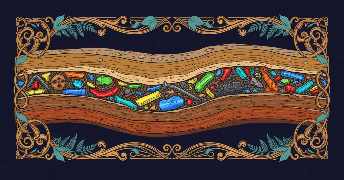
Comparing Environments for Geological Data
When researchers examine the ground, they must distinguish between terrestrial and marine settings to understand the full picture. Terrestrial sites, such as lake beds or peat bogs, often capture local changes with great detail. These areas act like a high-speed camera, recording every small shift in the local environment over short periods. However, these records are frequently interrupted by erosion or human construction, which can erase the very history scientists hope to find. This process is much like a handwritten journal that is prone to spills and torn pages, making it difficult to keep a perfect record of daily events.
In contrast, marine environments act like a slow, steady archive that preserves information for thousands of years. The deep ocean floor receives a constant rain of particles that settle into neat, undisturbed layers over time. These sedimentary sequences provide a stable timeline that is less likely to be disturbed by the chaotic surface activities found on land. While the land provides a fast and messy record, the ocean offers a slow and consistent one. By comparing these two, scientists can cross-reference their findings to ensure that a local event is actually part of a larger global trend.
Key term: Stratigraphic markers — distinct layers in the earth's crust that act as evidence for significant environmental or human-driven changes over time.
To better understand how these sites differ, we can look at the specific types of data they offer to researchers:
- Terrestrial sites provide rapid accumulation of organic matter, which allows for precise dating of recent human impacts through carbon analysis.
- Marine sites offer long-term stability where chemical signatures from the atmosphere settle into the mud without being disturbed by wind or rain.
- Coastal zones act as a transition area, combining both land-based pollutants and ocean-based sediments to show how human activity moves from cities to the sea.
The Challenges of Global Correlation
Linking these diverse sites requires a high level of precision because no single location tells the whole story. If a scientist finds a layer of plastic waste in a lake, they must confirm if that same layer exists in the deep ocean to prove it is a global marker. This is similar to a bank audit where every branch must report the same total to confirm the health of the entire financial system. If the records do not match, the researchers have to investigate why the local environment might have hidden or amplified the signal. This comparative process is essential for building a reliable geological timeline of human activity.
| Feature | Terrestrial Sites | Marine Sites | Coastal Zones |
|---|---|---|---|
| Accumulation | Often rapid | Very slow | Highly variable |
| Stability | Low to moderate | High | Low |
| Primary Input | Local pollutants | Global dust | Mixed debris |
By carefully mapping these different environments, scientists create a unified map of the planet's recent history. This work ensures that our understanding of the current era is based on solid evidence from all corners of the globe. It transforms scattered data points into a coherent narrative about how we have fundamentally altered the natural world.
Reliable geological records depend on comparing diverse environments to distinguish between local events and global human-driven changes.
Now that we understand how these markers are found, how does the process of building cities specifically alter the layers of earth beneath our feet?
Want this with sources you can check?
Premium Learning Paths for Earth Sciences & Geography are researched against open-access libraries — PubMed, arXiv, government databases, and more — with their distinctive claims cited to real sources and independently checked.
See what Premium includes