
Transportation Corridors
Imagine you are stuck in heavy traffic on a highway that cuts through the center of your town. You might wonder why the road was placed exactly there instead of somewhere else entirely. Urban planners design these routes to connect distant areas, but these paths often dictate how a city grows over many decades. When a new road appears, the surrounding land suddenly gains value, which encourages developers to build new homes and shops nearby. This process creates a ripple effect that reshapes the entire landscape of the city.
The Anatomy of Urban Growth
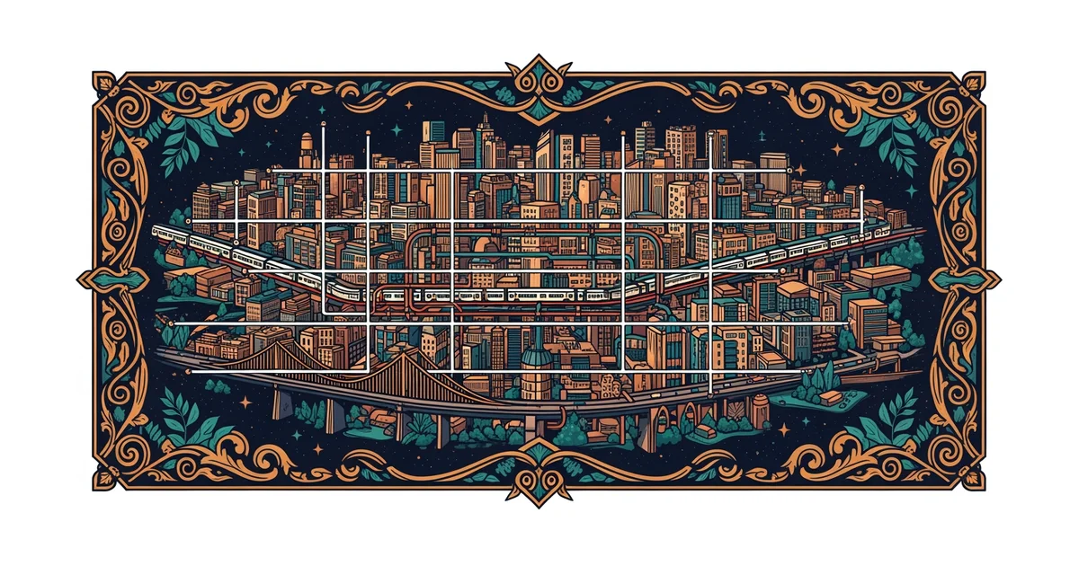
Transportation corridors act as the primary arteries of any modern city, directing the flow of people and goods. These corridors, which include highways, rail lines, and major transit routes, establish the physical framework for urban development. When a city adds a new highway, it effectively shrinks the distance between the city center and the outskirts. Developers often flock to these areas because they know that easy access attracts residents and businesses alike. Think of these corridors like a garden hose that directs water to specific patches of soil. The grass near the water flow grows thick and fast, while the distant, dry patches remain empty and undeveloped. This simple analogy highlights how infrastructure choices dictate where a city expands rather than where it should ideally grow.
Key term: Transportation corridors — the linear pathways like highways or rail lines that facilitate the movement of people and resources across urban spaces.
As these corridors expand, they often create a distinct pattern of growth known as urban sprawl, which pushes the city limits further outward. This outward movement happens because the land near these corridors becomes cheaper than land in the congested urban core. Families often choose to live in these outer zones to gain more space while still maintaining a connection to the city via the highway. This creates a cycle where more people move to the edges, leading to even more demand for expanded transit lines. Planners must balance this growth with the need to maintain efficient connections for all citizens living in the region.
Predicting Future Development Patterns
To predict how a city will grow, you must look at where the major transit investments are currently happening. If a government announces a new light rail project, you can expect the surrounding area to experience rapid changes in land use. Developers typically target these spots because they provide reliable access to the urban core, making the properties highly desirable for commuters. The following table illustrates how different types of transit corridors influence the growth patterns of an expanding city:
| Corridor Type | Primary Impact | Growth Intensity | Development Speed |
|---|---|---|---|
| Highway | Suburban sprawl | High density | Very fast |
| Light Rail | Transit hubs | High density | Moderate |
| Bus Routes | Local access | Low density | Gradual |
Urban planners use these patterns to guide future investments and manage the density of growing neighborhoods. By studying these corridors, they can determine if a city will spread out in a thin line or grow in dense clusters around major stations. This strategic planning helps prevent the negative effects of unplanned sprawl, such as long commute times and loss of green space. Understanding these dynamics allows us to see why some cities feel tight and walkable while others feel like endless stretches of pavement.
- Highways encourage rapid, low-density expansion across the outer edges of a city.
- Rail lines promote dense, structured development concentrated around specific transit stations.
- Bus networks provide flexible, local connectivity that fills in the gaps between major corridors.
These three elements work together to form the skeletal structure of the modern urban environment. Without these planned routes, a city would lack the necessary flow to sustain its growing population and economic activity. Each choice made today regarding road or rail construction sets the stage for the next fifty years of urban evolution.
Transportation corridors serve as the structural blueprints that dictate exactly how and where a city will expand over time.
The next Station introduces urban infrastructure systems, which determines how these corridors function on a daily basis.