
Defining the Coastal Zone
Defining the Coastal Zone
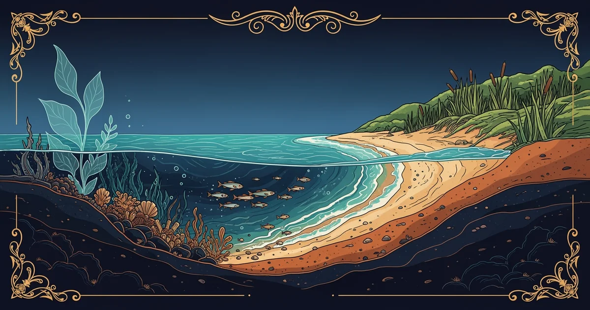
When we observe the edge of the land, we see a complex meeting of two worlds. The coastal zone is not just a thin line on a map. It is a dynamic region where the ocean meets the land. Scientists define this area by looking at both physical and biological changes. We must understand these boundaries to manage our resources effectively and protect the environment.
Physical and Biological Boundaries
The physical boundary often extends from the high tide mark to the inland limit. This limit is where ocean waves no longer influence the local soil or water. In some regions, this boundary is very narrow and steep against cliffs. In other places, the zone reaches miles inland across flat, marshy, or sandy plains. We use these physical markers to decide where special rules for development should apply.
Biological boundaries follow the presence of salt-tolerant plants and unique animal species. If you find mangroves or salt marshes, you are likely in a coastal zone. These plants thrive in conditions that would kill most other vegetation on the earth. By tracking these species, we can map the true reach of the sea's influence.
The Importance of Spatial Scale
When planners look at the coast, they must choose the right scale for study. A local beach requires a different management plan than a long, winding estuary system. If we zoom out too far, we might miss the needs of a small bay. If we zoom in too close, we might fail to see the larger regional threats. Effective management requires a balance between these two different viewing perspectives.
This diagram shows the core elements that define our management zones today. We must integrate both physical and biological data to create a robust plan. Without this integration, our efforts to protect the coast will remain incomplete and ineffective. Every coastal zone is unique, so we must always adapt our tools to the local setting. By understanding these basics, we prepare ourselves to handle the challenges of human growth.