
El Nino and La Nina
During the winter of 1997, massive floods destroyed infrastructure across the coastal regions of Peru and Ecuador. This disaster occurred because ocean currents shifted in ways that defied typical weather patterns for that decade. The event highlighted how the Pacific Ocean acts like a giant engine driving global weather systems through complex heat exchanges. When the ocean temperature changes, the atmosphere responds by altering the path of major storm systems across the entire planet. This phenomenon is a primary driver of climate variability that affects agriculture and energy production in many different countries.
Understanding Pacific Climate Oscillations
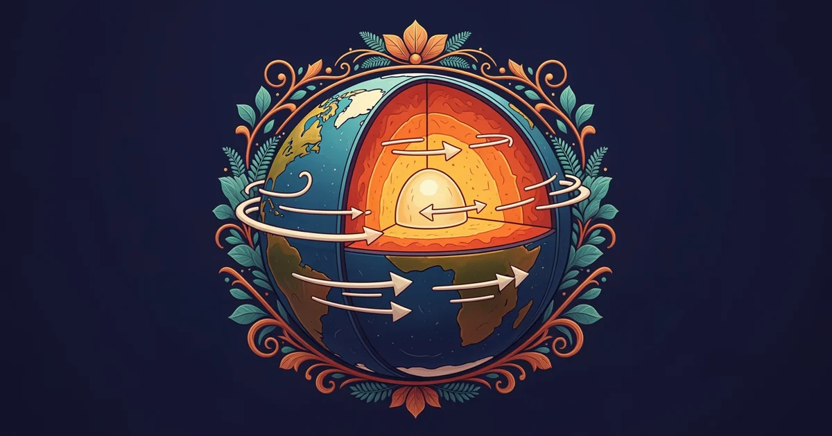
To understand these shifts, we must look at the El Nino cycle which involves a warming of surface waters. Under normal conditions, strong trade winds push warm water toward the western Pacific near Indonesia and Australia. This movement allows cold, nutrient-rich water to rise along the coast of South America to replace the volume. However, during an El Nino event, these trade winds weaken significantly and allow warm water to flow back eastward. This shift disrupts the standard circulation patterns by changing where rain clouds form over the vast ocean surface.
Key term: El Nino — a climate pattern characterized by unusually warm ocean temperatures in the equatorial Pacific that disrupts normal wind and rainfall.
Think of this process like a bathtub where you push all the water to one side. If you suddenly stop pushing, the water sloshes back to the other side and changes the entire level. When the warm water moves toward South America, it brings heavy rainfall to usually dry regions. This change in heat location forces the jet stream to move, which then alters weather patterns in North America and beyond. The ocean essentially acts as a massive battery that stores heat and releases it through these shifting wind patterns.
Comparing Opposite Climate Phases
While El Nino brings warming, the La Nina phase acts as the intense opposite of that cycle. During this period, the trade winds become much stronger than they are in normal years. These powerful winds push even more warm water into the western Pacific and cause extreme cooling in the east. This cycle often results in droughts in the southern United States while bringing heavy rains to parts of Asia. These two phases create a constant seesaw effect that dictates seasonal climate conditions for billions of people.
| Phase | Wind Strength | Pacific Temperature | Regional Impact |
|---|---|---|---|
| Neutral | Moderate | Balanced | Standard seasons |
| El Nino | Weakened | Warmer in East | Increased rain |
| La Nina | Strengthened | Colder in East | Increased drought |
These patterns represent a delicate balance of energy that dictates global survival rates for crops and water supplies. Scientists monitor these cycles to predict how rainfall will change across different continents during the coming year. By tracking the temperature of the surface water, they can estimate the intensity of the upcoming season. Understanding these fluctuations allows nations to prepare for the economic impact of changing weather conditions. This is the application of ocean-atmosphere coupling from Station 10 working in real conditions to shape our global environment.
Periodic shifts in Pacific water temperatures fundamentally alter global wind patterns and dictate the distribution of rainfall across various continents.
But this model breaks down when global temperature averages rise and change the baseline for these historical oscillation events.