
The Basics of Global Positioning
You check your phone to find the nearest coffee shop, and a blue dot instantly appears on your screen to guide you. This magic happens because invisible signals travel through space to pinpoint your exact location on the planet. Most people assume that GPS works like a simple map, but it relies on complex geometry and precise timing. By measuring the time it takes for signals to move from orbit to your device, the system calculates your position with incredible speed and accuracy.
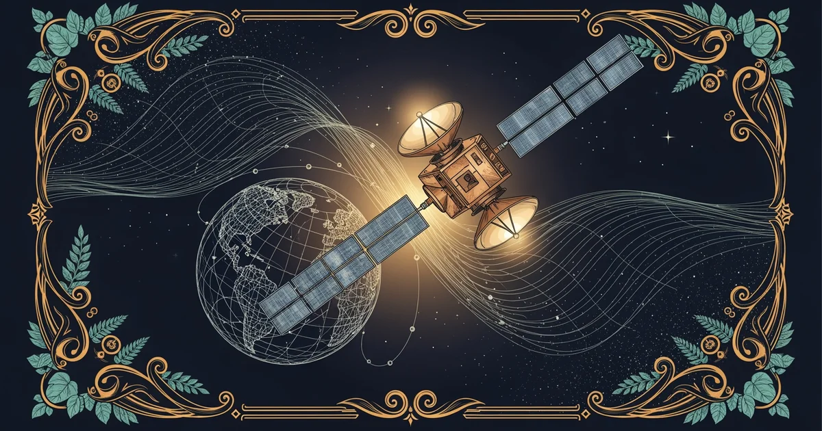
The Geometry of Location
To find your location, the system uses a process called trilateration to narrow down your position. Imagine you are standing in a dark room and need to find your spot using three friends. If one friend tells you that you are five meters away, you could be anywhere on a circle around them. If a second friend adds that you are ten meters away, your location must be one of two points where those circles cross. A third friend provides a final distance, which confirms your exact position by intersecting the previous two circles. Satellites act as these friends by sending out signals that tell your phone how far away they are currently located. Your device calculates these distances based on the time delay of each incoming signal.
Key term: Trilateration — the mathematical method of determining a specific location by measuring the distance to at least three known points.
Since these signals travel at the speed of light, even a tiny error in time measurement creates a huge error in distance. The system must know the exact position of every satellite in the sky at all times. If a satellite is just a few kilometers off in its orbit, your phone might think you are in a different city. This is why the network requires constant updates and precise calculations to remain useful for daily navigation tasks.
Measuring Distance Through Time
Because the satellites are moving at high speeds, the system must account for the time it takes for a signal to reach your receiver. Each satellite carries a highly accurate clock that synchronizes with the entire network to ensure consistent data. When your phone receives a signal, it compares the time stamp on the message with its own internal clock. The difference between these two times tells the device exactly how long the signal spent traveling through the atmosphere. By multiplying this travel time by the speed of light, the phone determines your distance from that specific satellite.
| Signal Source | Data Provided | Purpose of Data |
|---|---|---|
| Satellite A | Precise Time | Distance calculation |
| Satellite B | Satellite Spot | Orbital positioning |
| Satellite C | Status Report | Signal verification |
This table shows how different pieces of information help your phone solve the puzzle of where you are. Without the time stamp, your phone would have no way to know how far away the satellite is located. Without the orbital data, it would not know where the satellite is in the sky. When these factors combine, your device creates a reliable coordinate that updates every single second while you are moving.
Understanding how these signals interact allows you to see the world as a giant grid of invisible lines. You are essentially standing at the center of a web of light beams reaching down from space. This path will teach you how these systems maintain such high precision even as they move through the vast vacuum of space.
Satellite systems determine your location by measuring the time delay of signals from multiple points to solve a geometric puzzle.
By completing this path, you will master the complex physics and orbital mechanics required to keep global navigation systems accurate.