
Troubleshooting Sight Errors
TL;DR: Most navigation errors come down to three culprits: the , incorrect timekeeping, or simple arithmetic slips during your final calculation.
The Anatomy of an Off-Course Sight
You have spent the last few stations mastering the art of the and calculating your position during the tricky transition of twilight. You have learned to capture the sun or stars with a steady hand, but even the most precise measurement is useless if the underlying data is tainted. Navigation is a game of cumulative precision. If your measurement is off by just one arcminute, your position on the map shifts by one nautical mile. When your fix doesn't match your dead reckoning, you are not failing; you are simply witnessing the mechanics of error in real-time.
The Three Pillars of Failure
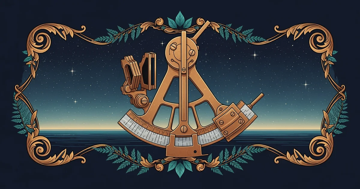
To troubleshoot a flawed sight, you must isolate the variables. Every navigation error falls into one of three distinct categories. First, we look at the instrument itself. The index error is the most common mechanical culprit. If your sextant’s mirrors are not perfectly parallel when the index arm is set to zero, every subsequent reading will be skewed by that constant offset. You must check this before every session by sighting the horizon and ensuring the reflected image aligns perfectly with the actual horizon. If it doesn't, you must apply a correction factor to every measurement you take.
Second, consider the temporal factor. Celestial navigation relies entirely on the relationship between your measured angle and the exact time of the observation. Because the Earth rotates at a rate of per hour, an error of only four seconds in your watch time results in a one-nautical-mile error in your longitude. If your watch has drifted or if you misread your stopwatch by even a few seconds, your entire calculation will place you miles away from your actual position. Always sync your timepiece to a reliable standard before you step onto the deck.
Finally, we encounter the human variable: the math. Calculating a position requires several steps of spherical trigonometry, often condensed into tables or calculators. A simple transcription error—swapping a sign (plus or minus) or misreading a column in your tables—can throw your result into the next hemisphere. If your sight looks "impossible," re-run the numbers from scratch. Do not assume your first pass was correct; assume the math is the most likely place for a "ghost" error to hide.
Analyzing the Flaw
When your position fix looks wrong, follow a strict diagnostic procedure. Start by checking your instrument’s index error. If that is zero or accounted for, move to your time notation. Did you record the seconds correctly? Did you account for the difference between your watch and the reference time? If the time is solid, the math is your final frontier. Break down your calculation into the three primary components: the altitude correction, the intercept, and the azimuth. Often, you will find that a single sign mistake in the intercept calculation—adding when you should have subtracted—is the sole reason your position plot looks like it belongs on a different boat.
As you sharpen your ability to spot these errors, you move from being a student of the stars to a true navigator. Troubleshooting isn't about being perfect; it's about being observant enough to catch the imperfections before they become a navigational hazard.
A reliable position fix is not the result of a single perfect measurement, but the result of systematically eliminating mechanical, temporal, and mathematical errors from your data.
Now that you know how to keep your data clean and your errors in check, you are ready to move beyond isolated sights and individual troubleshooting. In the next station, we will combine everything you have learned to execute "The Complete Ocean Fix," where we will synthesize multiple celestial bodies to lock down your position with absolute certainty.