
Mastering the Sextant
TL;DR: To find your latitude at sea, use a sextant to measure the precise angle between the sun and the horizon at its highest point in the sky, then subtract that angle from 90 degrees to find your distance from the equator.
The Geometry of Light
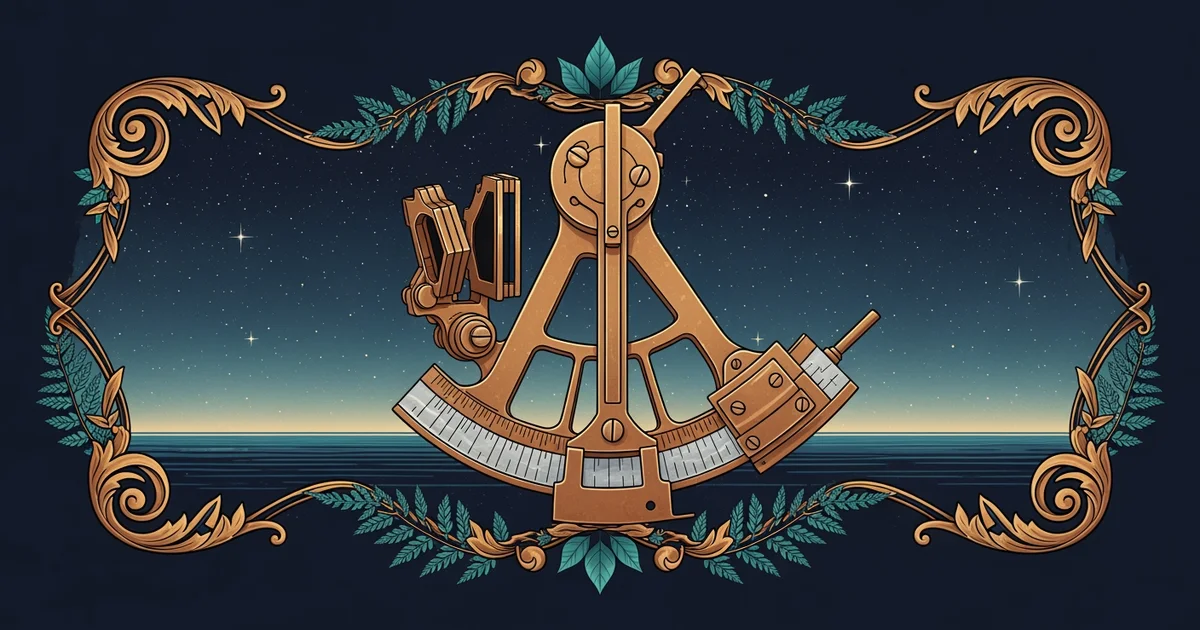
Building on our work with the horizon, you now know that the ocean provides a perfectly flat reference line. But a line is useless if you don't know where you are standing in relation to it. To master celestial navigation, you need to capture the exact position of a celestial body—like the sun—relative to that horizon. Enter the . It is a marvel of mirrors and geometry that allows you to bring a star down to the water’s edge.
When you look through the telescope of a sextant, you aren't just looking at the sky. You are looking at two things at once: the horizon through a clear piece of glass and the sun reflected through a series of mirrors. By adjusting the arm of the device, you slide the sun’s reflection down until it perfectly kisses the horizon. This is the moment of truth. You are essentially creating a physical triangle where you are one vertex, the horizon is the base, and the sun is the apex. The angle you read on the scale is the .
The Noon Sight Protocol
Why do we wait for the sun to reach its highest point? This is the . As the earth rotates, the sun appears to climb higher until it reaches its peak, known as the meridian passage. For a brief moment, it stops climbing and begins to descend. Because it moves so slowly at this peak, it is the most accurate time to measure its position. If you measure too early or too late, your calculation will be off by miles. Patience is your greatest tool here; you must track the sun, keeping it locked to the horizon as it rises, waiting for that exact moment it hesitates before falling.
Performing a Noon Sight
Procedure · 6 steps- 1Prepare the sextant by ensuring the mirrors are clean and the index arm moves smoothly.
- 2Set the index arm to zero and observe the horizon through the telescope.
- 3Swing the index arm forward to bring the sun's reflection into view.
- 4Use the fine-adjustment knob to "bring the sun down" until its lower limb just touches the horizon line.
- 5Follow the sun upward as it rises; when it stops rising and begins to drop, lock the reading.
- 6Record the angle displayed on the vernier scale.
Turning Angles into Coordinates
Once you have that angle, you are holding a piece of the planet’s coordinate system in your hand. If the sun is directly overhead at , you are at the equator. If it is lower, you are further away. The math is elegant in its simplicity: your latitude is the difference between the sun's position and the zenith. By applying a few corrections for the height of your eye above the water and the time of year, you can pin your location on a map with incredible accuracy.
It is tempting to think this is just about reading a dial, but it is actually about the physical connection between your eyes, the light of a star, and the curve of the world. You are not just using a tool; you are aligning yourself with the mechanics of the solar system. When you look through that eyepiece, you aren't guessing—you are witnessing the geometry of the universe confirming exactly where you stand.
The sextant works by reflecting a celestial body onto the horizon, allowing you to measure the sun's maximum altitude to calculate your distance from the equator.
Now that you can capture your position in space, we must address the other half of the puzzle: time. Without knowing the exact time, your latitude is a lonely number, but with it, you can unlock the mystery of your longitude and finally chart a course across the vast, featureless deep.