
Calculating Latitude by Polaris
TL;DR: Your latitude is equal to the angle of Polaris above the horizon; if you see the North Star at 40 degrees, you are at 40 degrees North latitude.
The Geometry of the North Star
Imagine the Earth as a giant spinning top. If you drew a line straight out from the North Pole, it would point almost exactly at one specific, glowing anchor in the sky: Polaris. Because Polaris sits directly above the Earth’s axis, it doesn’t seem to wheel around the sky like the other stars. As your ship moves north or south, your perspective on that axis shifts. If you were standing exactly at the North Pole, Polaris would be directly overhead—at a 90-degree angle to your horizon. If you were standing on the equator, Polaris would sit right on the horizon line—at a 0-degree angle. This beautiful, direct relationship is the secret key to finding your position.
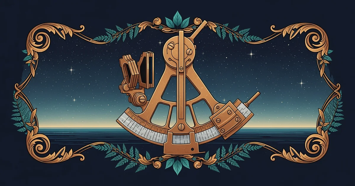
To calculate your latitude, you must measure the , which is the vertical distance between the horizon and the star. Since your eyes aren't perfect protractors, we rely on the mechanical precision of a sextant. You bring the star down to the horizon, lock the reading, and you have your coordinate. It is a direct physical link between your feet on the deck and the geometry of the spinning planet beneath you.
Correcting for the Human Element
While the concept is simple, the reality of the open ocean adds a layer of complexity. You have already learned about in our previous station. Because the air near the horizon acts like a lens, it can make Polaris appear slightly higher than it actually is. If you ignore this, you will think you are further north than you really are. You must subtract the refraction error from your raw sextant reading to get the "true" altitude.
Furthermore, Polaris is not perfectly centered on the celestial pole; it traces a tiny, invisible circle in the sky. For general navigation, we treat it as the center, but for the precision required to stay within one nautical mile, you must account for the star's slight offset. Think of it like a clock hand that is just a millimeter off the center pin. By using a standard correction table based on the time of your observation, you adjust your reading to account for exactly where Polaris is in its tiny orbit at that very second.
The Calculation Procedure
To achieve the precision of a master navigator, you follow a strict, repeatable sequence. You aren't just looking at a star; you are performing an observation that links your ship to the celestial sphere.
Latitude Determination
Procedure · 5 steps- 1Measure the altitude of Polaris using a sextant.
- 2Apply the index error correction to your raw measurement.
- 3Subtract the refraction correction to account for the atmosphere.
- 4Consult the correction table for the star's current position in its orbit.
- 5Calculate the final latitude value.
When you perform these steps, you are essentially triangulating your position against the fixed point of the North Celestial Pole. If your measured altitude is and your corrections total , your latitude is North. It is elegant, it is mathematical, and it is entirely independent of GPS satellites or electronic signals. You are reading the map of the universe directly from the deck of your ship.
Your latitude is determined by the altitude of Polaris above the horizon, adjusted precisely for atmospheric refraction and the star’s slight orbital variance.
Now that you can fix your position using the North Star, you might wonder what happens when the sky is cluttered or you need to find your location during the day or in the Southern Hemisphere, where Polaris is nowhere to be seen. That is where we turn to the Intercept Method, a technique that allows you to use any celestial body to draw a line of position on your chart.
Want this with sources you can check?
Premium Learning Paths for Astronomy & Space Exploration are researched against open-access libraries — PubMed, arXiv, government databases, and more — with their distinctive claims cited to real sources and independently checked.
See what Premium includes