
The Geometry of the Horizon
TL;DR: You can measure your position on Earth by using your own hand to track how high a star sits above the horizon, turning your arm into a living geometry tool.
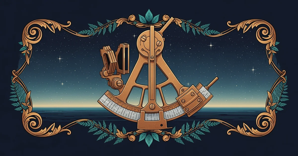
The Horizon as Your Anchor
To navigate the open ocean, you must first accept that the world is not a flat map, but a sphere. When you stand on the deck of a ship, the is your most important tool. It acts as a perfect zero-degree baseline. Because the Earth is curved, the horizon is always at your eye level, no matter how high you climb on a ship’s mast—though the distance to it changes. To find where you are, you don't need to measure the distance to the stars; you only need to measure the angle of the star relative to that flat, circular line of the horizon.
This angle is called the . If a star is directly overhead, its altitude is . If it is touching the water, its altitude is . By measuring this vertical gap, you are essentially drawing a triangle between your eye, the horizon, and the star. Solving that triangle is the secret to knowing your latitude.
Your Hand as a Precision Instrument
You might think you need expensive, heavy tools to start measuring the heavens, but your body is already calibrated. If you hold your arm out straight, your hand can act as a simple substitute for rough estimations. This isn't about guesswork; it is about human geometry.
When you extend your arm fully, the width of your fingers covers a consistent slice of the sky. This is because your arm acts as a fixed radius. While everyone’s hands are different, the proportions remain remarkably stable for most people:
- Your pinky finger at arm's length covers roughly of the sky.
- Three middle fingers together cover about .
- A closed fist is roughly .
- The span from your pinky tip to your thumb tip is approximately .
By stacking your hands one on top of the other, starting from the horizon and moving upward toward a star, you can "count" the degrees until you reach your target. If you stack three fists between the horizon and a star, that star has an altitude of .
The Geometry of the Sight
Why does this matter? Because the Earth is a spinning ball. As you move north or south, the stars appear to shift their position in the sky. If you were at the North Pole, the star Polaris would sit at directly above your head. If you were at the equator, Polaris would sit at right on the horizon. By measuring the altitude of a star, you are measuring exactly how far you have traveled from the pole.
This simple measurement is the foundation of all navigation. It turns the night sky into a giant clock and a giant map simultaneously. The "geometry of the horizon" is simply the act of tethering your location on the rolling ocean to the fixed, unchanging positions of the stars above. It is the bridge between the chaotic movement of the sea and the mathematical order of the cosmos.
The horizon provides a constant zero-degree reference point, allowing you to use the angular width of your hand to calculate a star's height and determine your position on Earth.
Now that you understand how to use your own body to read the vertical position of the stars, you are ready to refine that skill. In our next station, we will move beyond the hand-span and begin Mastering the Sextant, where we will trade rough estimates for the mechanical precision required to cross entire oceans with confidence.