
The Complete Ocean Fix
TL;DR: You find your exact position by intersecting two or more lines of position—derived from celestial bodies—to pinpoint the precise spot where your vessel sits on the vast, featureless ocean.
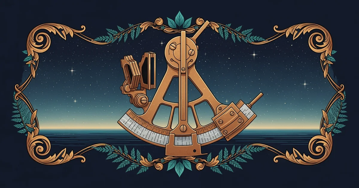
The Architecture of a Fix
We have spent this journey mastering the individual components of navigation: measuring the angle of the sun, calculating the error, and accounting for the subtle of light. Now, we reach the synthesis. A "fix" is not a single measurement; it is the geometric intersection of independent observations. Think of it like a game of triangulation. If you know you are standing somewhere on a specific line of latitude, and you know you are somewhere on a specific line of longitude, the point where those two lines cross is the only place you can possibly be.
To perform a complete ocean fix, you do not just take one shot of the horizon. You gather a series of observations—ideally three or more—at dawn or dusk. By observing stars at different bearings, you create multiple lines of position that cross one another. If your math is perfect, these lines meet at a single point. If they form a small triangle—known as a —you know your actual position lies within that triangle. This is the moment where the abstract math of the heavens transforms into the concrete reality of your ship's place on the globe.
Integrating the Sight Reduction Workflow
Execution is everything. You cannot afford to rush the process, even when the stars are fading into the daylight. The workflow follows a strict, logical sequence designed to minimize the accumulation of errors. First, you identify your stars, choosing ones that are spread out across the horizon to ensure your lines of position intersect at sharp, clear angles. A 90-degree intersection provides the most confidence; a shallow intersection makes your fix "soft" and prone to error.
- Prepare your logbook with the estimated time of observation.
- Observe the altitude of the first star, noting the exact time to the second.
- Repeat for the second and third stars, moving quickly to keep the time interval short.
- Calculate the for each star.
- Plot the lines on your chart, shifting them if necessary to account for the ship's movement between shots.
By the time you finish, you have effectively turned your sextant into a bridge between the rotation of the Earth and your specific coordinate on a paper chart. You are no longer guessing; you are calculating your existence.
The Limit of Human Precision
Even with the best tools, we face a fundamental boundary. We assume the Earth is a perfect sphere, but it is actually an oblate spheroid, and our instruments have physical limits. At the highest levels of navigation, we encounter the "three-body problem" of celestial mechanics: the complex gravitational interplay between the Earth, the Moon, and the Sun. While our current models account for the major shifts, there remains an open question in the research community: how can we further refine our real-time corrections for localized atmospheric instability that causes micro-distortions in star sightings? We are pushing the limits of what a human eye and a handheld tool can resolve against the backdrop of an infinite sky.
A complete ocean fix is the geometric intersection of multiple independent celestial observations that resolve the ambiguity of your position into a single, verifiable point on a chart.
Now that you can calculate your place among the stars, the horizon is no longer a limit, but a map waiting to be read.