
Drainage Basin Geography
Imagine a mountain range covered in heavy rain that eventually finds its way down to the ocean. Every drop of water follows a specific path through the landscape to reach a shared destination.
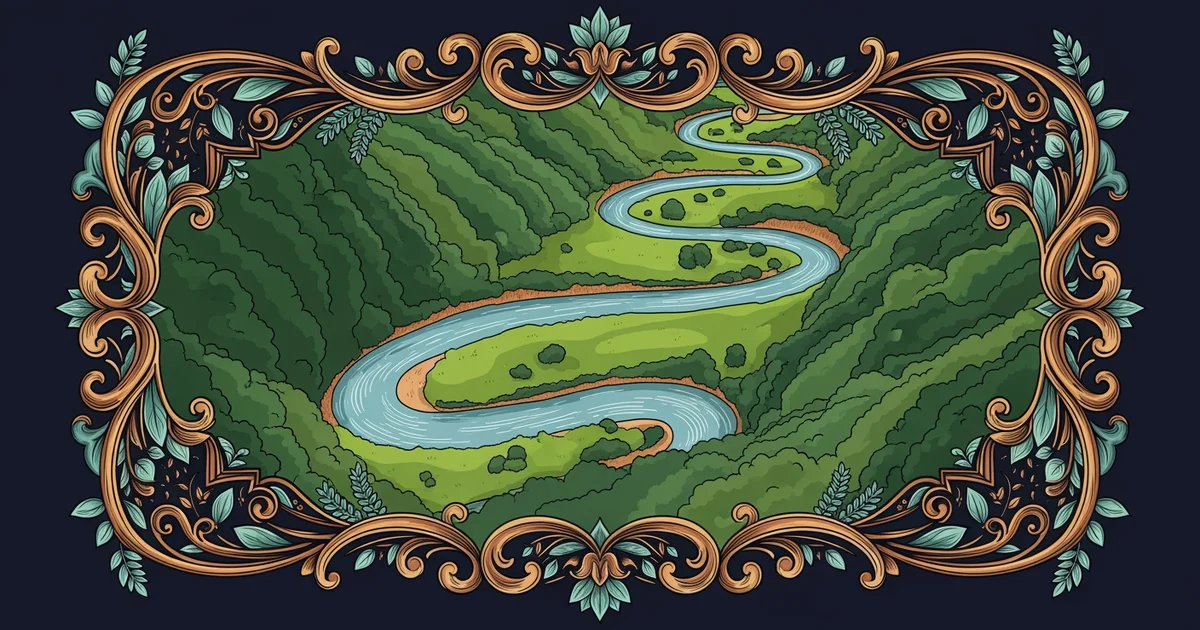
Understanding Water Collection Areas
When we look at the landscape, we see that water does not flow in random directions across the ground. Instead, gravity pulls water toward the lowest points in the local terrain to form small streams or rivers. A drainage basin acts like a giant funnel that collects all the water falling within a specific geographic area. You can think of this basin like a household sink where the counter space guides every drop toward the central drain. If you pour water on the far edge of the counter, it still moves toward the drain because of the slope of the surface. This collection process ensures that water from high elevations moves steadily toward larger bodies of water like lakes or oceans. By mapping these boundaries, scientists can predict how floods might impact regions downstream after a major storm event occurs.
Key term: Watershed — the specific elevated boundary line that separates one drainage basin from another neighboring basin.
To understand how these systems function, we must look at the physical barriers that define them. These barriers are often high ridges or mountain peaks that force water to flow down one side or the other. When rain falls directly on a ridge, the water splits and heads into different basins on opposite sides. This simple division creates a complex network of interconnected channels that cover the entire surface of our planet. The following list outlines the primary components that define the structure of a typical drainage basin system within a geographic region:
- The divide serves as the high ground that acts as a physical boundary separating two distinct drainage basins from each other.
- The stream network consists of smaller tributaries that gather water from the landscape before feeding it into a main river channel.
- The outlet represents the lowest point of the basin where the collected water eventually leaves the system to enter a larger body.
Mapping the Flow of Regional Systems
Because every piece of land belongs to a drainage basin, we can categorize them based on their size and their total water output. Large basins often span across entire continents, while smaller basins might only cover a few square miles of local forest or farmland. Managing these areas requires a clear understanding of how human activity can change the natural path of moving water. For example, building large concrete surfaces can prevent water from soaking into the ground, which forces more water into the river channels quickly. This shift often leads to higher water levels and increased erosion along the banks of the river during heavy rain seasons. By studying these boundaries, we learn how to protect the land from the power of moving water over long periods of time.
| Feature Type | Primary Function | Impact on Water Flow |
|---|---|---|
| Mountain Ridge | Defines boundary | Forces water separation |
| Tributary | Collects runoff | Increases channel volume |
| Main River | Transports water | Moves water to ocean |
We observe that the shape of the land dictates the speed and volume of the water moving through it. As the main river channel grows wider, it carries more sediment from the upper reaches of the basin down to the coast. This continuous movement of soil and rock is what slowly carves the valleys we see across the world today. Every basin operates as a self-contained unit that reacts to the climate and the geology of its specific location. By observing these patterns, we gain insight into how the earth constantly reshapes its surface through the simple action of gravity and flowing water.
A drainage basin functions as a natural collection system where gravity directs all surface water toward a single shared outlet point.
The next step involves exploring how the water cycle powers these movements by constantly replenishing the supply within each basin.