
Synthesizing Myth and Science
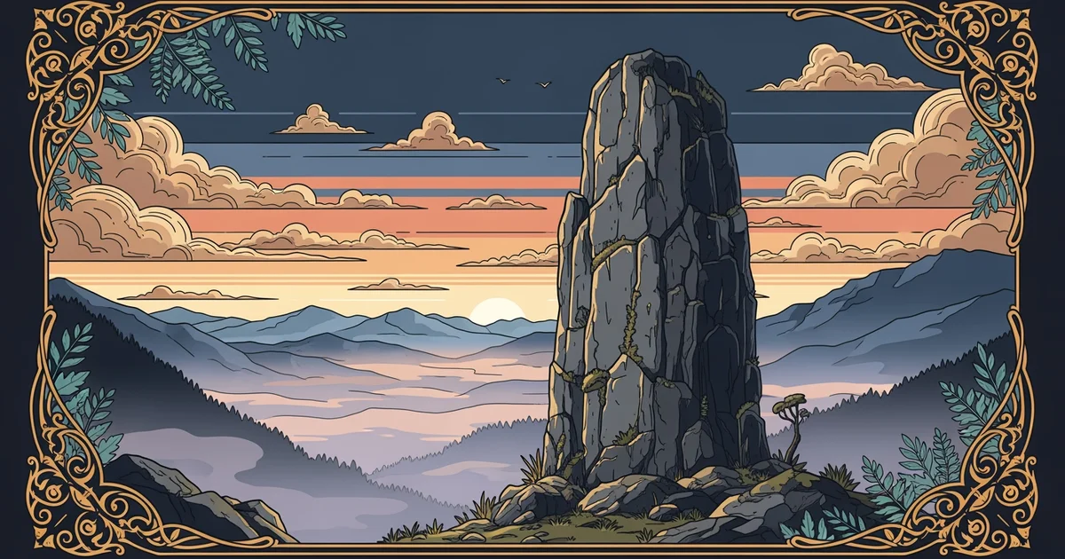
Imagine you are standing before a massive mountain that local legends claim was formed by a giant’s misplaced foot. While the story sounds like a simple fairy tale, geologists often find that such myths describe real volcanic eruptions or massive landslides. Ancient people lacked modern scientific instruments, but they possessed keen observational skills that captured major environmental shifts in their oral traditions. By listening to these stories, we can map out historical events that happened long before written records existed. This process of merging folklore with hard data creates a richer picture of our changing planet.
Bridging Ancient Stories and Geological Data
When we analyze these myths, we treat them as primary data sets that require careful interpretation. Just as a bank auditor reviews old ledgers to understand a company’s financial history, we examine oral traditions to uncover past geological events. We must filter out the supernatural elements to reach the underlying physical reality described by the storytellers. If a myth describes a mountain breathing fire, we might look for evidence of ancient volcanic activity in that specific region. This synthesis allows us to identify hidden sites of interest that standard geological maps might otherwise overlook.
Key term: Geomythology — the study of oral traditions and folklore to identify and interpret geological events from the distant past.
Integrating these two fields requires a structured approach that avoids bias while respecting the cultural value of the stories. We cannot assume every myth describes a literal event, but we must acknowledge that humans have always documented the world around them. When we compare these narratives with physical evidence like sediment layers or volcanic deposits, we often find a striking correlation between the two. This validation process turns a local legend into a valuable piece of evidence for researchers studying Earth's long-term environmental history.
Developing a Research Project on Landscape Lore
To begin a research project, you must first select a specific geographic area with a strong tradition of local storytelling. You should gather all available oral accounts regarding the landscape and categorize them by the type of event they describe. Once you have a clear set of narratives, you can compare these findings with existing geological surveys of the same location. This step helps you determine if the stories align with known tectonic, volcanic, or climate-driven changes in the area. The goal is to see if the myths provide a timeline or a description that matches the physical evidence.
Consider the following steps when you design your own study to ensure your results remain accurate and focused:
- Identify a region where oral histories describe dramatic landscape changes like floods or mountain formations.
- Collect multiple versions of the same story to understand which elements remain consistent across different tellings.
- Search for geological reports that confirm or refute the physical feasibility of the events described in the stories.
- Create a comparative map that overlays the locations mentioned in the myths with known geological hazard zones.
By following this method, you transform vague stories into actionable data points that contribute to our broader scientific understanding. This work helps us see how ancient cultures navigated a volatile world and how those experiences inform our modern perspectives on geological hazards. We are not just studying old tales, but we are learning how to read the Earth through the eyes of our ancestors. This synthesis of knowledge ensures that we honor the past while using its lessons to prepare for the future of our physical landscape.
Blending cultural narratives with geological evidence allows us to reconstruct historical environmental changes that written records often fail to capture.
Next, we will explore how these integrated methods help us predict the future of geographic lore in a globalized world.