
Oral Traditions and Mapping
Imagine you are standing in a vast, trackless wilderness without a digital map or a compass. How would you find your way home if the landscape looked identical in every single direction? You would likely rely on stories passed down through generations to navigate the complex terrain around you. These narratives act like mental blueprints that transform empty space into a meaningful, navigable map of physical landmarks. By encoding geographic features into tales, ancient cultures ensured that vital survival information survived for centuries without ever needing a written page.
The Function of Narrative Memory
Oral traditions serve as a sophisticated storage system for geographic data that humans have utilized for millennia. When people describe a mountain or a river within a story, they create a mnemonic device that links physical geography to human memory. This process transforms abstract landforms into memorable characters or events that are much easier to recall than raw coordinates. Think of this like a grocery list where each item is tied to a specific room in your house. By walking through the rooms in your mind, you easily remember every single item on the list. Similarly, a traveler walking through a valley recalls the specific warnings or directions embedded in the local folklore associated with that terrain.
Key term: Oral tradition — the practice of passing down history, knowledge, and geographic data through spoken stories rather than written records.
This method of data preservation is incredibly robust because it relies on social reinforcement to maintain accuracy over time. If a storyteller forgets a crucial detail about a dangerous cliff or a hidden water source, the community corrects the error during the next performance. This collective verification process acts as a form of quality control that keeps the geographic information reliable for future generations. Because the survival of the group depends on this knowledge, the stories are treated with great respect and repeated with high precision.
Mapping Through Storytelling
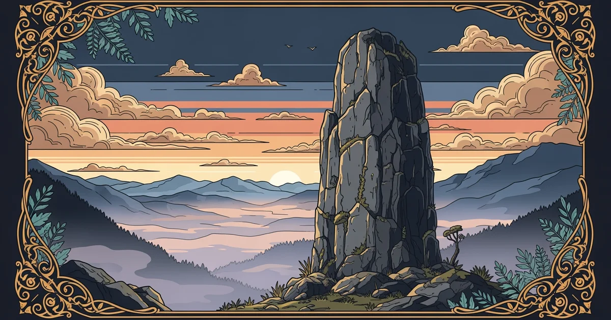
These stories function as a cultural map that guides individuals through their environment by highlighting essential features of the landscape. Unlike a modern paper map that shows distance, these narratives focus on the significance of landmarks and the safest routes between them. They provide a deeper layer of meaning that connects the traveler to the land on an emotional level. This bond encourages people to observe their surroundings with greater care and attention to detail. When you view a mountain as a character in a story, you are far more likely to remember its specific shape and location than if you simply viewed it as a geological object.
To understand how these stories organize space, consider the following common elements found in many traditional geographic narratives:
- Landmark identification identifies specific peaks or rivers that serve as major anchors for navigation across large territories.
- Hazard warnings describe dangerous areas like unstable slopes or flood zones by framing them as forbidden or cursed locations.
- Resource mapping highlights the location of seasonal food sources or clean water supplies through tales of successful hunting expeditions.
By integrating these elements, oral traditions create a comprehensive guide that allows people to navigate diverse environments with confidence. This approach effectively turns the entire landscape into a living library that is accessible to anyone who learns the local language and history. It demonstrates that mapping is not just a technical exercise but a human one that bridges the gap between the physical world and our collective memory.
Ancient oral traditions function as a living map by encoding essential geographic data into memorable stories that ensure community survival.
The next station will examine how specific volcanic legends align with the geological reality of explosive land formation.