
Multi-Sensor Correlation
Imagine you are watching a high-speed car chase through a thick fog that obscures your view. You might hear the engine roar, see the flickering tail lights, or notice the tire tracks left in the mud behind the vehicle. By combining these different sensory inputs, you build a complete picture of the event despite the limited visibility. This process is exactly how scientists verify aerial objects that defy standard flight characteristics using modern technology. When we observe mysterious aerial phenomena, relying on a single sensor often leads to incomplete or inaccurate data sets.
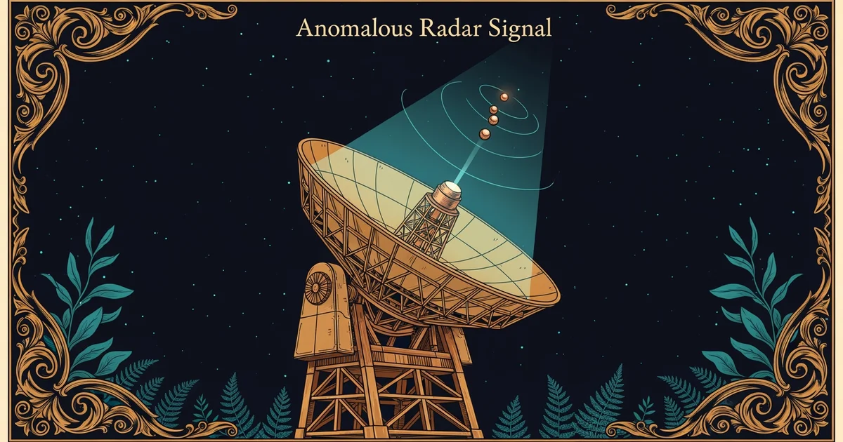
The Logic of Sensor Integration
To achieve true accuracy, experts use multi-sensor correlation to verify the presence and behavior of objects in the sky. This method requires gathering data from multiple independent sources like radar, infrared cameras, and electro-optical sensors simultaneously. If a radar system detects a solid object moving at km/h, but the infrared camera shows no heat signature, the data becomes a point of contention. By overlapping these inputs, analysts can filter out sensor glitches or atmospheric interference that might mimic an object. This ensures that the final report reflects real physical properties rather than electronic noise or system errors. Just as a detective verifies a witness statement with physical evidence, a researcher confirms a visual sighting with electronic logs.
Key term: Multi-sensor correlation — the process of combining data from various independent hardware sources to confirm the reality of a detected object.
When we integrate these tools, we create a layered defensive net that catches anomalies that single sensors might miss. For instance, a radar might track an object's position, while an optical sensor captures its shape and movement patterns. Integrating these streams allows us to calculate the object's velocity, altitude, and trajectory with much higher precision. If one sensor fails or provides conflicting data, the others act as a check to maintain the integrity of the overall observation. This structural redundancy is essential for rigorous scientific inquiry into phenomena that operate outside of known flight protocols.
Data Verification and Reliability Protocols
Maintaining data integrity requires a strict protocol for comparing various inputs to ensure they align correctly. Researchers look for specific markers across different platforms to confirm the object remains consistent throughout the entire encounter. The following table outlines how different sensors contribute unique information to the overall assessment of an aerial object:
| Sensor Type | Primary Data Output | Strength of Input | Limitations |
|---|---|---|---|
| Radar | Distance and speed | Precise tracking | Low resolution |
| Infrared | Thermal signature | Heat detection | Weather sensitive |
| Optical | Visual appearance | High detail | Light dependent |
By comparing these specific outputs, analysts can determine if the data represents a physical craft or an environmental effect. For example, if radar data shows a rapid change in direction while the optical camera shows nothing, the object might be a digital artifact. This systematic comparison prevents false conclusions and keeps the investigation grounded in hard evidence. When we use these tools together, we build a much stronger foundation for understanding the behavior of unknown aerial objects.
- Radar systems provide the necessary spatial coordinates by bouncing radio waves off an object to measure its distance and speed — this creates a mathematical map of the object's path through the sky.
- Infrared cameras detect the heat energy emitted by an object, which helps identify propulsion sources or structural heat buildup — this allows researchers to see objects even in total darkness.
- Electro-optical sensors capture high-resolution images that reveal the physical shape and surface features of an object — this provides the visual proof needed to distinguish between man-made craft and natural phenomena.
These three inputs must agree to form a verified observation that stands up to scrutiny within the scientific community. If the data points do not align, the object remains unverified until more evidence becomes available for analysis. This careful approach ensures that we do not jump to conclusions without sufficient proof from multiple independent sources.
Reliable identification of unknown aerial objects depends on the simultaneous verification of physical data across multiple, independent technological platforms.
But how do we organize these complex findings into a format that allows the broader public to contribute to our collective understanding?