
Real-time Traffic Monitoring
When the busy shipping lanes of the Suez Canal became blocked in 2021, the global supply chain stalled because there was no secondary route for the massive vessels. Managing the busy space between the Earth and the Moon requires a similar level of precise oversight to prevent collisions between commercial, scientific, and government craft. We must track every object in real-time to maintain the safety of the cislunar corridor.
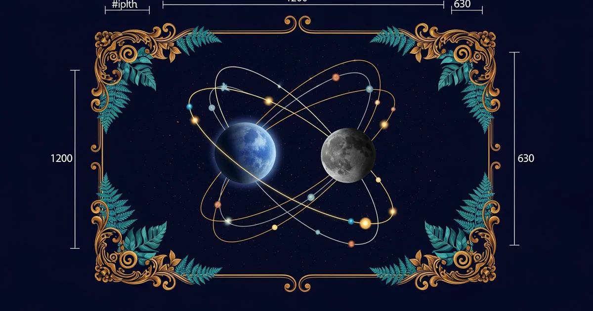
Monitoring Space Traffic Patterns
Space traffic management relies on a constant stream of data from ground stations and orbital sensors. Every craft sends out a signal that identifies its position, speed, and projected path through the vacuum. This is known as telemetry, which functions like the digital breadcrumbs a hiker leaves behind to show their exact route. Computers collect these signals to build a dynamic map of the entire region. This map helps operators see potential risks long before two craft get too close to each other. By using these systems, we can predict future movements with great accuracy.
Key term: Telemetry — the automatic measurement and wireless transmission of data from remote sources to IT systems for monitoring.
Ground controllers use this data to calculate the safest path for every mission currently in flight. If a craft needs to change its speed, the system updates the projected path for all other nearby vessels. This process is like a busy intersection where traffic lights change based on real-time flow. If one car speeds up, the sensors detect the shift and adjust the timing for all other lanes. This prevents accidents by ensuring no two craft occupy the same space at the same time.
Data Visualization and Collision Avoidance
Visualizing this data is critical for human operators who must make split-second decisions during a crisis. We use a conjunction assessment to determine if two objects will pass too close for comfort. This process involves complex math to map out the uncertainty in each craft's position. Because space is vast, even a tiny error in measurement could lead to a massive collision. We use the following steps to ensure safe passage for all active missions:
- Data collection from radar stations and onboard sensors occurs every few seconds.
- Path projection models estimate the future location of each object in the corridor.
- Risk scoring identifies potential overlaps in the projected flight paths of nearby craft.
- Maneuver planning suggests a course correction if the risk score exceeds safety limits.
| Sensor Type | Primary Function | Data Frequency | Range Capability |
|---|---|---|---|
| Ground Radar | Tracking debris | Low latency | Earth orbit only |
| Optical | Deep space scan | High latency | Cislunar range |
| Radio Link | Craft telemetry | Real-time | Deep space link |
This table shows how different sensors provide the data needed to keep the corridor clear. Ground radar works well for objects near Earth, but optical sensors are better for the long distances toward the Moon. By combining these sources, we create a complete picture of the traffic. This layered approach ensures that no craft remains hidden from our view. Constant monitoring is the only way to keep the lanes open for future travel.
Real-time traffic management uses constant data streams and predictive modeling to ensure that every craft navigates the cislunar corridor without colliding with other objects.
But this model faces a major challenge when the number of private satellites exceeds our current tracking capacity.