
Autonomous Navigation Systems
Imagine you are driving a car through a thick fog where every turn requires instant decisions. You cannot see the road ahead, yet you must navigate safely to reach your final destination. Spacecraft in the cislunar region face this exact challenge when they lose direct contact with Earth. They must rely on Autonomous Navigation Systems to survive the complex journey between our planet and the Moon.
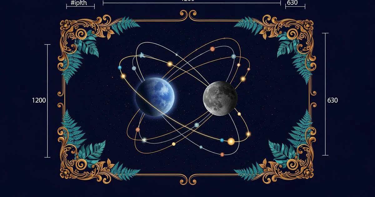
The Logic of Independent Travel
When a spacecraft operates without human input, it must process data from internal sensors to determine its location. This process functions like a high-speed map app that updates every millisecond based on star patterns. The craft uses onboard cameras to identify constellations, comparing them against a pre-loaded digital sky map. By calculating the exact angle of distant stars, the system fixes its position in the vast darkness. This method ensures that the craft knows its orientation even when radio signals from ground control fail. The system acts as the digital eyes for the pilot, allowing for constant course corrections during long missions.
Key term: Autonomous Navigation Systems — technology that allows spacecraft to determine their own position and trajectory without needing constant commands from human operators on Earth.
Think of this system as an automated budget planner for your monthly spending. Just as a bank app tracks your expenses to keep you within your limits, the navigation software tracks orbital energy. It monitors fuel levels and speed to ensure the craft stays on the safest path. If the craft drifts off course, the system triggers small thrusters to nudge it back into place. This constant self-correction prevents the craft from wasting fuel or missing its target window entirely. Without such automation, the risk of losing a expensive vehicle in deep space becomes extremely high.
Processing Data for Precise Movement
After the system identifies its location, it must calculate the most efficient path forward through space. This requires complex math that accounts for the gravitational pull of both the Earth and the Moon. The onboard computer processes these forces to predict where the craft will be in the future. It then compares this prediction to the planned mission route to find any necessary deviations. The following table highlights the primary data sources used by these systems to maintain a stable flight path.
| Data Source | Function | Benefit to Navigation |
|---|---|---|
| Star Tracker | Mapping | Fixes orientation in space |
| Inertial Sensors | Motion | Tracks speed and acceleration |
| Radio Ranging | Distance | Measures range to Earth stations |
These systems must prioritize safety above all other mission goals during the entire flight process. When the computer detects an obstacle or a potential collision, it executes a pre-programmed avoidance maneuver. This happens in seconds, which is much faster than waiting for a signal to reach Earth and return. The efficiency of this process depends on the quality of the sensor hardware and the software algorithms. Engineers design these systems to handle errors gracefully, ensuring that a single faulty sensor does not ruin the mission. By building in layers of redundancy, the craft remains capable of completing its journey even if hardware fails.
Autonomous systems represent the future of deep space exploration because they remove the need for slow, manual control. As we send more cargo and eventually people to the lunar surface, the traffic will increase significantly. Automated navigation allows us to manage this busy environment without needing a massive team for every single movement. The craft essentially becomes its own pilot, making smart choices that conserve resources while maximizing the safety of the mission. This level of independence is critical for the success of long-term lunar infrastructure projects that require constant, reliable transport.
Autonomous navigation systems enable spacecraft to maintain precise trajectories and ensure mission safety by processing sensor data to make independent, real-time course adjustments.
But what does this look like in practice when two craft approach the same orbital path?
Want this with sources you can check?
Premium Learning Paths for Astronomy & Space Exploration are researched against open-access libraries — PubMed, arXiv, government databases, and more — with their distinctive claims cited to real sources and independently checked.
See what Premium includes