
Glacial Sculpting Processes
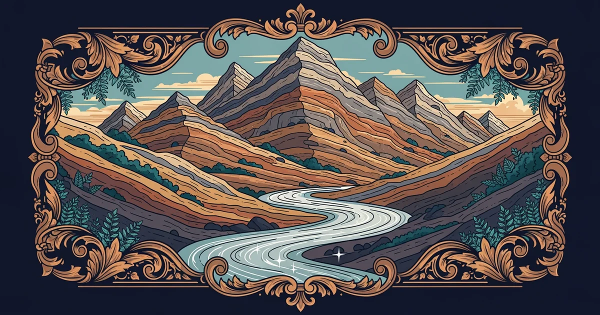
Imagine a massive, slow-moving river of ice carving through a solid mountain range like a giant chisel. This powerful process transforms rugged, jagged peaks into smooth, U-shaped valleys over thousands of years of constant motion. Glaciers act as nature's heavy equipment, grinding down the landscape while leaving behind distinct marks of their journey. Understanding these processes reveals how the surface of our planet changes under the weight of immense, frozen pressure.
The Mechanics of Glacial Erosion
Glaciers move because gravity pulls them down slopes, but they do not slide like a simple block of ice. Instead, they act like a massive, slow-moving conveyor belt that carries debris along its base and sides. This material, which includes rocks and sand, acts as abrasive sandpaper that scours the bedrock beneath the ice. As the glacier advances, it plucks large chunks of rock from the valley floor through a process called quarrying. This deep erosion creates a distinct glacial valley that features a wide, flat bottom and steep, vertical sides. Unlike rivers, which carve deep V-shaped notches into the earth, glaciers move with enough force to widen entire mountain corridors.
Key term: Glacial valley — a broad, U-shaped depression in the ground formed by the massive weight and erosive power of moving ice sheets.
Think of the glacier as a heavy, industrial sander moving across a wooden floor to smooth out rough surfaces. The sander removes the jagged edges and creates a uniform path that remains long after the machine stops. Similarly, when the ice finally melts, it leaves behind a landscape shaped by the immense pressure of its previous presence. This transformation leaves behind wide, open spaces that were once narrow, V-shaped river canyons filled with rocks and debris.
Depositional Features and Landforms
When a glacier begins to melt, it loses the energy required to carry the heavy rock and sediment it picked up earlier. This material, collectively known as till, is dropped in piles as the ice retreats or thins out. A moraine is a specific landform created when these rocks and dirt accumulate at the edges or terminus of the glacier. These piles act as markers that show exactly how far the ice traveled during its peak expansion periods. We can categorize these deposits by their location relative to the main body of the ice during the melting phase.
| Feature | Location | Formation Process |
|---|---|---|
| Lateral Moraine | Valley sides | Debris falls from slopes onto the ice edge |
| Terminal Moraine | Valley end | Material builds up at the furthest point of reach |
| Medial Moraine | Valley center | Two glaciers merge and combine their side debris |
These landforms provide a clear history of the glacier's movement and its eventual retreat from the region. By studying the height and composition of these piles, geologists can determine the climate conditions of the past. The presence of these deposits indicates that the area was once covered by thick ice, even if the region is warm today.
Glacial movement leaves behind a unique signature that defines the modern topography of many high-altitude regions. The interaction between the ice and the underlying rock creates a balance between destructive erosion and constructive deposition. This cycle ensures that the earth is constantly reshaped by natural forces over vast stretches of geological time. By observing these features, we gain insight into the massive power that frozen water exerts on the solid ground beneath our feet. These processes are essential for understanding how our planet evolves through cycles of cooling and warming.
Glacial sculpting processes reshape mountain landscapes by eroding valleys into wide, U-shaped forms and leaving behind distinct piles of debris called moraines.
The next Station introduces the hydrological cycle, which determines how water movement influences the shaping of these glacial features.