
The Lunar Distance Method
In 1767, when the first Nautical Almanac appeared, sailors finally gained a reliable way to map their path across the dark, open sea. This shift mirrors how a traveler uses a complex train schedule to time their arrival at a busy city terminal. Without this precise coordination, the traveler misses their connection, just as a ship misses its port by hundreds of miles. This is the Lunar Distance Method from Station 12 working in real conditions to solve the long-standing problem of longitude at sea.
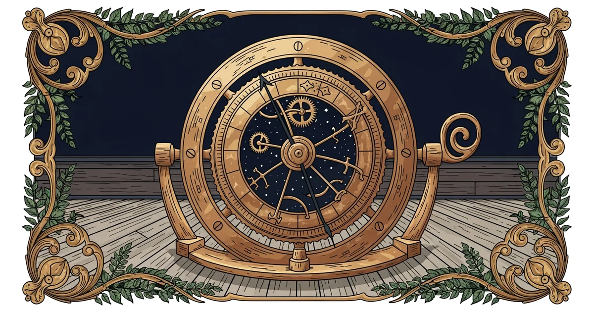
The Moon as a Celestial Clock
To determine longitude, sailors need to know the exact time at a known starting point, like Greenwich. Because the moon moves across the sky at a predictable rate, it acts as a giant, slow-moving clock hand against the backdrop of distant stars. By measuring the angle between the moon and a specific star, a navigator can calculate the current time at the prime meridian. This process requires great care because even a small error in reading the angle results in a massive error in the final position of the ship.
Key term: Lunar Distance — the angular measurement between the moon and a chosen star used to find the time at a reference meridian.
Since the moon covers roughly its own diameter in one hour, the measurement must be highly accurate to be useful. If a sailor misses the angle by just one degree, their calculated time will be off by two hours. This would place the ship roughly thirty degrees of longitude away from its true location. Navigators often used a specialized tool called a sextant to capture these angles while standing on a rolling, unstable ship deck.
Calculating the Final Position
Once the navigator determines the Greenwich time from the lunar angle, they compare it to their local time. Local time is easily found by observing the sun at its highest point in the sky at noon. The difference between these two times provides the longitude of the ship. Each hour of difference represents fifteen degrees of longitude, allowing the captain to plot their current location on a paper chart with relative ease.
| Step | Action | Purpose |
|---|---|---|
| One | Measure angle | Find the current time at the prime meridian |
| Two | Observe sun | Determine the local time at the ship position |
| Three | Compare times | Calculate the difference in degrees of longitude |
This method was essential for long voyages, but it required intense focus and many hours of complex math. The calculations involved spherical trigonometry, which was a difficult skill for many sailors to master in the middle of a storm. Despite these challenges, the lunar distance method provided a safety net for ships that lacked expensive, high-precision marine chronometers during the eighteenth century.
Navigators had to account for several factors that could distort their view of the moon and stars. Atmospheric refraction, which was covered in Station 12, often bent the light of the moon near the horizon. This effect made the moon appear higher than it actually was in the sky. To correct this, sailors used detailed tables that listed the necessary adjustments for various heights and weather conditions. These tables allowed them to refine their raw observations into reliable data for navigation.
- The navigator identifies a bright star near the path of the moon.
- The sextant is used to measure the precise angle between those two points.
- The observer checks the lunar tables to account for refraction and parallax effects.
- The resulting time value is compared against the local solar time on the ship.
- The final longitude is marked on the map to guide the vessel toward the destination.
This system turned the night sky into a massive clock face that was visible to anyone with the right tools. It allowed ships to cross the vast oceans with much greater confidence than previous generations ever could. While the math was heavy, the logic was sound and transformed maritime trade forever.
The lunar distance method uses the predictable movement of the moon against the stars to determine the exact time at a reference location, which allows sailors to calculate their longitude.
But this method becomes difficult to use when thick cloud cover obscures the moon for days at a time.