
The Horizon Principle
Imagine you are standing on a flat beach looking out at the vast ocean. You watch a ship slowly sail away until its hull disappears below the water line. This happens because the Earth curves away from your sightline like a giant ball. Ancient sailors realized that the sky and the sea meet at a flat edge. They called this distance the horizon line and used it as a tool. By measuring the stars against this line, they learned to track their path across the globe. This simple observation changed how humans traveled across the deep blue sea forever.
The Geometry of the Horizon
When you look toward the horizon, you are essentially establishing a flat plane of reference. Your eyes sit at a specific height above the water level, which defines your unique viewpoint. This viewpoint creates a circle around you where the sky meets the Earth. Ancient navigators understood that this circle was not a fixed point in space. It moved as they moved across the surface of the planet during their long voyages. They treated the horizon as a stable baseline for measuring the height of celestial bodies.
Key term: Horizon — the apparent line where the Earth's surface and the sky seem to meet.
Think of the horizon like a budget limit in a household spending plan. Just as you cannot spend money you do not have in your bank account, you cannot see objects hidden below the curve of the Earth. The horizon acts as a boundary that separates visible space from the hidden parts of the world. By staying aware of this boundary, sailors could estimate their distance from known land masses. They used the stars to calibrate their position relative to this invisible but constant limit.
Using Stars as Celestial Markers
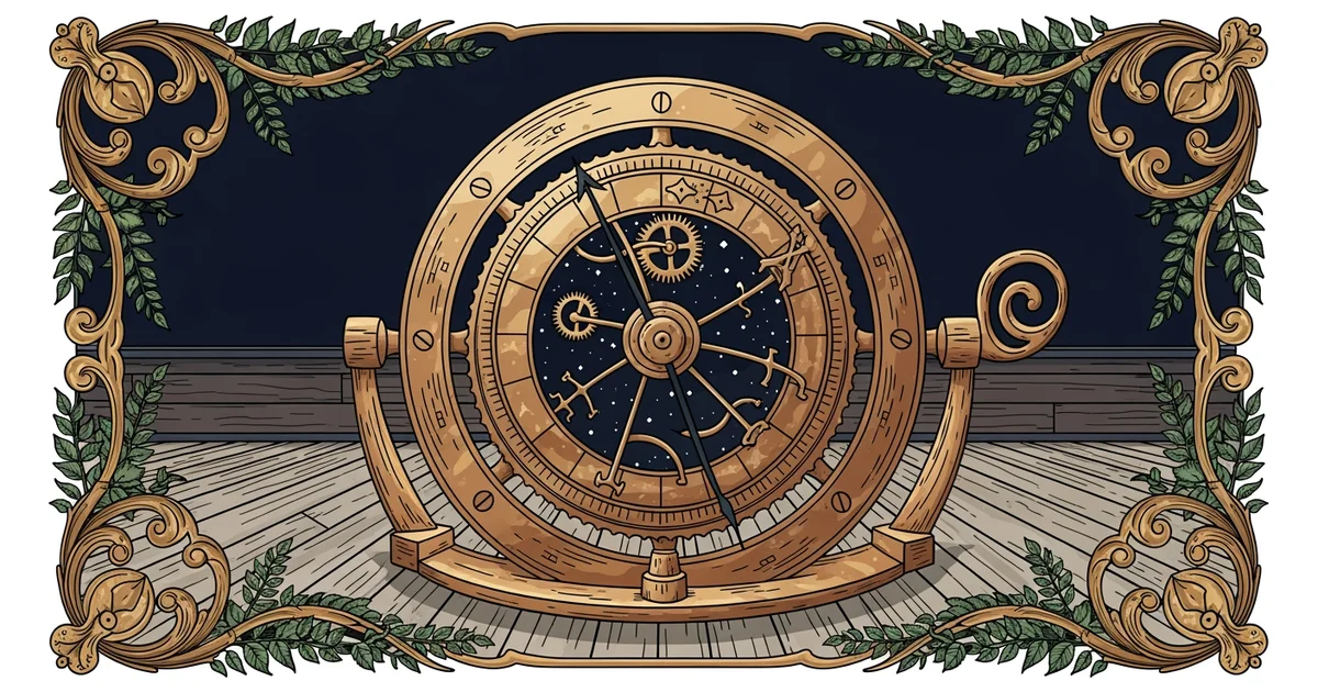
Navigators needed a way to measure the height of stars above this flat horizon line. They used tools to find the angle between the star and the water. This angle helps determine how far north or south a ship has traveled. If a star sits high in the sky, the ship is near the equator. If the star sits low near the horizon, the ship is closer to the poles. This relationship between the star and the horizon allows for precise location tracking.
| Measurement | Tool Used | Purpose of Data |
|---|---|---|
| Star Angle | Astrolabe | Finding latitude |
| Horizon Line | Sight | Establishing base |
| Ship Speed | Log line | Tracking distance |
There are three main reasons why sailors relied on the horizon for their star measurements:
- The horizon provides a clear visual anchor that remains consistent regardless of the ship's movement.
- Measuring a star from the horizon line minimizes errors caused by the rolling of the ship.
- Comparing the star to the horizon creates a simple geometric triangle that is easy to calculate.
These methods allowed travelers to cross vast oceans without any modern technology or electronic maps. They relied entirely on the geometry of the Earth and the light of distant stars. By mastering the horizon, they turned the entire planet into a navigable map for future generations. Each voyage added more data to their charts, making the next trip safer and much faster. They proved that even simple tools can solve the hardest problems of human exploration.
The horizon acts as a universal baseline that allows observers to measure the height of stars and determine their position on Earth.
Next, we will explore how the astrolabe refined these horizon measurements into a precise science of navigation.