
The Sky as a Map
Imagine standing on a dark beach at night with no compass or smartphone to guide you. You see thousands of lights flickering above, but how do you turn those distant points into a reliable map? Ancient sailors faced this exact challenge every time they left the safety of the shore for open water. They realized that the sky was not just random chaos, but a giant, rotating clockwork system they could use to find their way home.
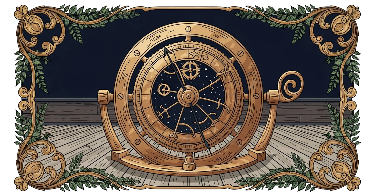
The Geometry of the Night Sky
Early mariners learned that the stars appear to move in predictable patterns across the night sky. This movement happens because the Earth spins on its axis, creating the illusion that the entire universe revolves around us. By observing these patterns, travelers discovered that certain stars remain fixed in position while others rise and set. These stable stars acted like permanent markers in a landscape that otherwise lacked any physical landmarks or signs. Think of the sky as a massive grid where the stars provide the static lines of longitude and latitude. Just as a city planner uses street signs to help people navigate a busy urban center, sailors used the positions of bright stars to identify their heading. If they knew their current position relative to a specific star, they could maintain a straight path across the ocean. This method transformed the vast, empty sea into a navigable space where every direction had a clear, celestial reference point.
Key term: Celestial navigation — the practice of using the position of stars and planets to determine a traveler's location.
Identifying Stable Celestial Coordinates
To use the sky effectively, sailors needed to group individual stars into recognizable shapes known as constellations. These patterns served as a memory aid, making it much easier to identify the correct stars in the dark. Once a sailor recognized a specific constellation, they could find the brightest star within it to serve as their anchor. This process of identification was vital for maintaining accuracy during long voyages where one wrong turn could mean missing an entire island. The following list explains how these patterns helped early sailors maintain their course through the night:
- The North Star, known as Polaris, stays nearly fixed in the northern sky, providing a constant indicator of true north for any navigator.
- Constellation clusters act as visual landmarks, allowing sailors to quickly locate specific stars that serve as reliable indicators of direction.
- The angle of a star above the horizon changes with latitude, helping sailors estimate how far north or south they have traveled.
Using these tools, sailors could navigate by comparing the height of a star to the horizon line. If the star appeared higher than it did the previous night, they knew they were moving closer to the point directly beneath that star. This simple observation allowed them to measure distance without any mechanical tools. The sky essentially provided a natural map that required only human eyes and a steady sense of timing. Sailors practiced these skills for years to ensure they could read the map even when clouds partially obscured their view. By mastering the geometry of the stars, they turned the darkness into a reliable guide for crossing unknown, vast oceans.
| Observation | Navigational Use | Result |
|---|---|---|
| Star Height | Latitude tracking | North-South position |
| Star Rising | Direction finding | East-West orientation |
| Pattern Shape | Identification | Reliable orientation |
This table summarizes how different visual cues in the sky provided the data needed for long-distance travel. By tracking the height and position of these lights, sailors could calculate their location with surprising accuracy. This system worked because the stars are so far away that their movement feels constant to anyone standing on our planet. It was a perfect, free, and accessible navigation tool available to anyone who took the time to study the night sky. This path will give you the tools to understand how the heavens guided human exploration across the globe.
Understanding the sky as a stable coordinate system allowed ancient travelers to navigate vast oceans by using the predictable, repeating patterns of the stars.
By mastering the stars, we now move toward understanding how the Sun and shadows provide even more precise data for daytime navigation.