
The Sextant Evolution
Imagine you are standing on a rocking ship in the middle of a vast, dark ocean. You need to find your position, but the horizon keeps shifting as the waves toss your vessel around. Sailors once relied on simple tools that were difficult to use while the deck moved beneath their feet. This constant motion made precise measurements of stars nearly impossible for early explorers. To solve this, they needed a more stable way to measure the angle between the horizon and a bright star. This need for stability drove the invention of a tool that changed navigation forever.
The Mechanical Leap in Navigation
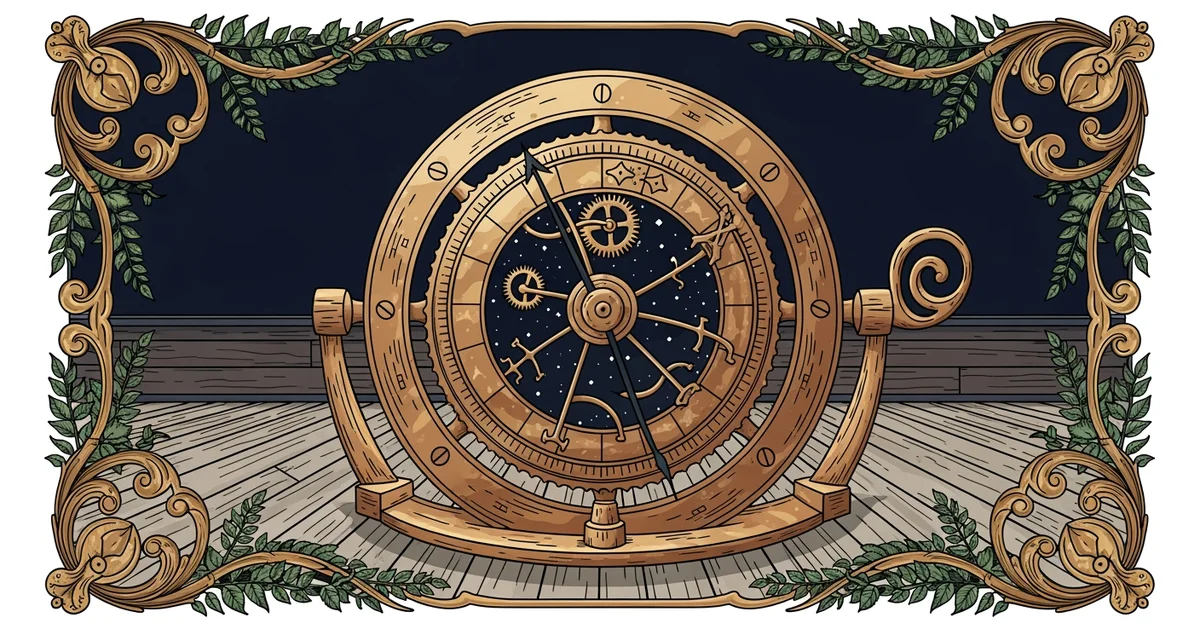
Before the invention of the sextant, sailors used tools like the astrolabe or the quadrant to find their location. These older devices required the user to hold them perfectly still while sighting a star. Because ships move constantly, these tools were often inaccurate, leading to dangerous errors in navigation. The sextant solved this problem by using two mirrors to bring the image of a star down to the horizon line. By reflecting the light, the device allowed the sailor to see both the star and the horizon at once. Even if the ship pitched or rolled, the two images moved together in the viewfinder. This clever trick meant the sailor could measure the angle with high precision despite the motion of the sea.
Key term: Sextant — a navigational instrument that uses two mirrors to measure the angle between a celestial object and the horizon.
Think of the sextant like a pair of high-powered binoculars that also acts as a ruler for the sky. Just as binoculars bring distant objects into focus, the mirrors bring the star into alignment with the horizon. If you try to measure the height of a wall while standing on a moving swing, you will struggle to keep your yardstick steady. The sextant acts as a stabilizer that keeps the wall and your yardstick perfectly aligned in your vision. This stability is the secret to its success in deep-sea travel. Without this ability to lock the star against the horizon, sailors would have remained lost in the open water.
Evolution of Navigational Hardware
As time passed, the design of these tools evolved to become more reliable and easier to carry. Early versions were bulky and prone to damage from the salty air of the ocean. Engineers eventually refined the frame to be lighter and more durable for long voyages. The following list explains how the sextant improved upon older measurement devices through its unique physical design and optical properties.
- The frame of a sextant is built in a triangular shape to ensure the delicate mirrors remain aligned during heavy storms.
- The use of a vernier scale allows sailors to read very small fractions of a degree, which increases the accuracy of their location.
- The inclusion of tinted glass filters protects the eyes of the sailor when they take measurements of the sun at midday.
These improvements turned a complex task into a standard procedure for every ship captain. By comparing the sextant to older tools, we can clearly see why it became the industry standard for centuries. The table below highlights the differences between the main tools used by early explorers to track their path across the globe.
| Device | Mechanism | Stability on Ships | Accuracy Level |
|---|---|---|---|
| Astrolabe | Vertical ring | Poor | Low |
| Quadrant | Fixed scale | Moderate | Medium |
| Sextant | Dual mirrors | High | High |
The data shows that the sextant provides the best balance of stability and precision for maritime work. While the quadrant was easier to build, it could not match the reliability of the mirrored system found in the sextant. This shift in technology allowed ships to travel further from land than ever before. Navigators could now calculate their position with confidence, knowing their tools would work even in rough weather. The development of the sextant was not just an upgrade to a tool, but a fundamental change in how humans interacted with the vastness of the ocean. It turned the stars into a reliable map that anyone could read with enough practice and the right equipment.
The sextant revolutionized maritime navigation by using mirrors to stabilize the image of celestial bodies against the horizon, allowing for precise measurements even on moving ships.
The next Station introduces Calculating Latitude, which determines how the measurement from a sextant is converted into a specific location on a map.