Archaeological Methods
Imagine you are trying to solve a complex puzzle without having the original picture on the box. Archaeologists face this exact challenge every day when they attempt to reconstruct ancient societies from scattered fragments. They do not simply dig holes in the ground to find gold or pretty trinkets. Instead, they use precise scientific methods to read the landscape like a giant, buried history book. These experts treat every layer of soil as a page that tells a story about how people lived, worked, and survived long ago. By examining the physical evidence left behind, they turn tiny clues into a clear image of human civilization.
Modern Tools for Mapping the Past
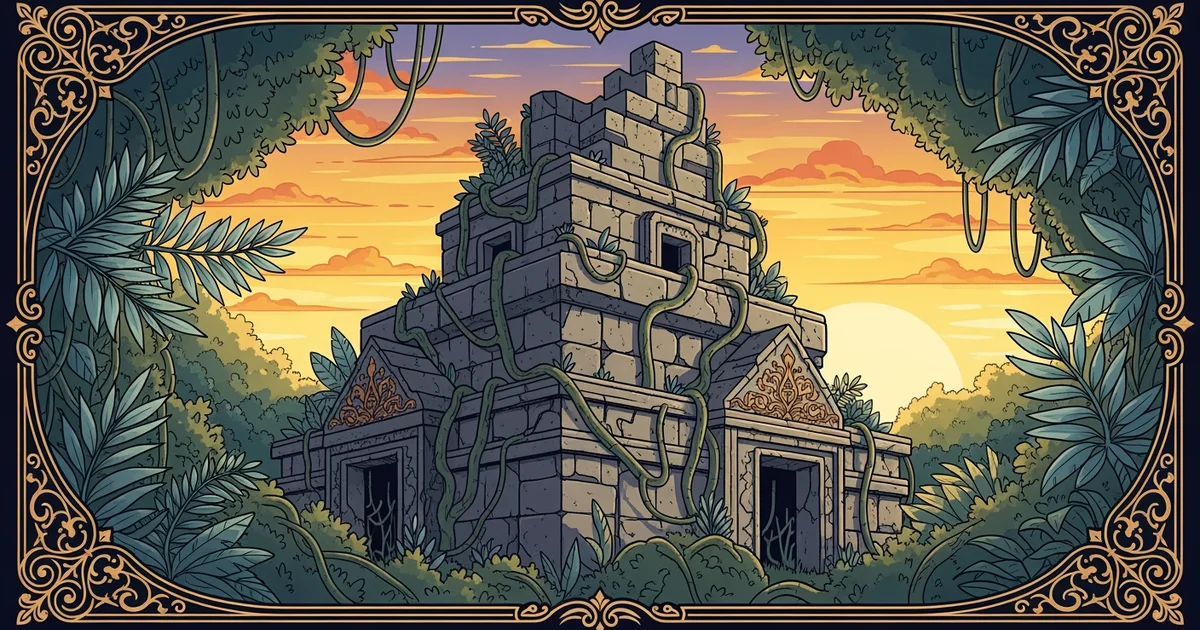
Technology has changed how we discover ruins that remain hidden beneath thick layers of forest canopy. One of the most powerful tools in the modern kit is lidar, which stands for light detection and ranging. This technology uses laser pulses sent from an aircraft to map the ground surface in great detail. The lasers penetrate through dense leaves and branches to reach the forest floor below. By measuring the time it takes for each pulse to return, the system creates a high-resolution map. This allows researchers to see mounds, walls, and roads that are invisible to the naked eye.
Think of this process like using a specialized filter on a camera that removes unwanted clutter from a photo. If you take a picture of a busy street but want to see the pavement underneath the cars, you need a filter that hides the vehicles. Lidar acts as this digital filter for the landscape, stripping away the trees to reveal the foundation of the past. Without this, many massive cities would remain lost in the jungle because explorers would walk right past them without knowing. This method saves years of manual labor by pointing teams toward the most promising locations before they ever break ground.
Analyzing Evidence Through Stratigraphy
Once a site is identified, the focus shifts to the physical layers of the earth through a process called stratigraphy. This method relies on the simple logic that the oldest materials settle at the bottom over time. New debris, trash, and building materials pile up on top of older layers as generations pass. Archaeologists carefully remove these layers one by one to keep the history in the correct order. They record the location of every object they find to ensure the context of the find is preserved. If they mix up the layers, the story of the site becomes impossible to read correctly.
To manage this data, experts often categorize the types of findings they encounter during their excavations:
- Artifacts represent portable items like pottery shards or stone tools that humans created and used in their daily lives.
- Ecofacts consist of natural remains such as animal bones or plant seeds that provide clues about the local diet.
- Features include permanent structures like fire pits, walls, or post holes that cannot be moved without destroying the site.
Each of these items serves as a piece of evidence that helps build a larger picture of the community. A single broken pot might seem unimportant, but it can reveal what kind of food the people stored. When researchers combine these findings with the depth of the layer, they can date the site with high accuracy.
Archaeological methods transform hidden physical traces into a coherent narrative by using precise technology and systematic excavation techniques.
The next step in our journey leads us to explore the mysterious urban planning of the Indus Valley civilization.