
Early Maritime Navigation
Imagine you are standing on a wooden deck in the middle of a vast, empty ocean. You have no map, no digital screen, and no view of the distant land to guide your path home. How do you find your way across the water when every direction looks exactly the same?
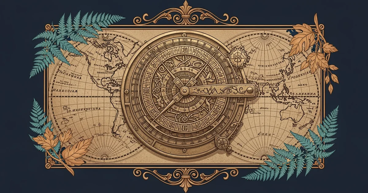
Tools for Ancient Ocean Travel
Early sailors relied on the sky and the sea to determine their position during long voyages. By observing the natural world, they turned the sun and stars into a reliable compass for travel. This process was much like reading a map made of light, where specific stars acted as landmarks in the dark night sky. Without these celestial markers, sailors would have been lost in the endless blue, unable to calculate their distance or direction accurately. These early methods required deep patience and a keen eye for subtle changes in the environment around the ship.
Key term: Celestial navigation — the art of finding one's geographic position by observing the sun, moon, and stars.
To manage their journey, early mariners developed specific tools that helped them measure the world around them. These instruments allowed them to turn observations into concrete data, ensuring they stayed on a safe course. The following tools were essential for any long trip across the open sea:
• The astrolabe helped sailors measure the angle of the sun or stars above the horizon to find their latitude. By knowing the angle of a star, they could determine how far north or south they were from their home port.
• The magnetic compass used a magnetized needle to point toward the magnetic north pole, giving sailors a steady reference for direction. Even when clouds hid the stars, the needle provided a constant guide to maintain a straight path across the water.
• The cross-staff allowed sailors to measure the altitude of celestial bodies by sliding a wooden vane along a rod. This simple device provided the precision needed to track their movement against the backdrop of the shifting night sky.
Understanding Ocean Patterns
Beyond using tools, sailors had to learn the language of the ocean to survive their long journeys. They watched the waves, the color of the water, and the flight paths of birds to predict what lay ahead. This knowledge acted like a budget for a traveler, where every resource had to be spent wisely to reach the destination without running out of supplies. If a sailor ignored the signs of the water, they risked drifting off course or missing crucial islands. By combining these observations with their tools, they transformed the mystery of the ocean into a navigable path for trade and exploration.
This process was not just about finding a location, but about understanding the rhythm of the entire planet. Sailors mapped their progress by noting the time of day and the position of the stars relative to the horizon. They learned that the ocean was not a flat, empty space, but a complex system of currents and winds. Just as a traveler checks their bank account to ensure they can afford their trip, a captain checked their position to ensure they could reach land before their water and food supplies were gone. This careful management of resources and data allowed humanity to expand its reach across the globe.
Humanity mastered the open ocean by blending precise physical tools with a deep, intuitive understanding of natural patterns.
Next, we will explore how these early navigation skills allowed civilizations to establish vital trade routes across the world.