
Satellites and Sensors
Imagine standing in the middle of a massive field where you cannot see the edges. You need to know which plants are thirsty and which ones are healthy right now. A farmer cannot walk across every single acre of land to check every single leaf daily. This is where modern technology provides a bird’s-eye view to save time and precious water resources. By using tools above the ground, we can see patterns that remain invisible to the naked eye at ground level.
Comparing Aerial Platforms
To gather this data, we use different platforms that carry sensors high into the sky. Satellites orbit far above the Earth and capture images of entire regions in one single pass. They offer a consistent view over long periods, which helps farmers track seasonal crop changes. However, clouds can sometimes block their view, which makes them less reliable during stormy weather seasons. Think of a satellite like a high-altitude security camera that watches a neighborhood from a very great distance.
Key term: Remote sensing — the process of gathering data about an object or area from a distance without making physical contact.
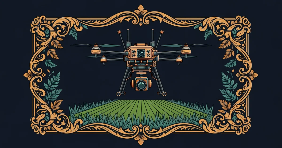
Planes and drones offer a different approach by flying much closer to the ground than satellites do. Drones are small aircraft that farmers can fly whenever they want to get a detailed look at their fields. Because they fly below the clouds, they provide clear images even on days when satellites cannot see through the haze. Planes can cover larger areas than drones but require more planning and cost more money to operate. Each platform serves a specific purpose depending on the size of the field and the weather.
Selecting Appropriate Sensors
Once the platform is in the air, the sensors attached to it do the actual work of measuring. These devices detect energy reflected from the ground to tell us about the health of the crops. We must choose the right sensor to match the specific problem we are trying to solve today.
| Sensor Type | Best Use Case | Primary Limitation |
|---|---|---|
| Optical | Measuring plant color | Needs bright light |
| Thermal | Checking water stress | Low spatial detail |
| Radar | Mapping soil moisture | Complex data processing |
Selecting the right tool is similar to choosing the right kitchen utensil for a specific task. You would not use a soup spoon to slice a loaf of bread, just as you would not use a thermal sensor to map crop colors. Each sensor gathers a unique type of information that helps us make better decisions about fertilizer or water use. By matching the sensor to the goal, we ensure that the data we collect is actually useful for farming.
We must also consider how often we need this information to make smart farming decisions. Some crops grow very quickly, so they require frequent monitoring to prevent disease or nutrient loss. Other crops are more stable and only need to be checked once every few weeks. Choosing the right frequency helps farmers save money by not over-collecting data they do not really need. Balancing the cost of the platform with the value of the information is a key part of precision agriculture.
We are essentially learning to listen to the silent signals that plants send out into the environment. These signals tell us when the soil is too dry or when the plants need extra nutrients. By mastering these tools, we can grow more food while using fewer resources like water and chemicals. This shift in strategy allows us to treat every square meter of land with the specific care it needs to thrive. The future of farming depends on our ability to interpret these signals accurately and quickly.
Effective remote sensing requires choosing the right platform and sensor to match the specific needs of the crop.
Next, we will explore how light waves allow these sensors to detect hidden details about plant health.