
Introduction to Remote Sensing
Imagine you are standing in the middle of a massive field of corn that stretches beyond your vision. You need to know which plants are thirsty or diseased, but walking every single row would take you all day long. This is the daily challenge farmers face when managing large plots of land without modern help. They need a way to see the big picture without having to physically touch every single leaf or stalk. This is where the science of gathering data from a distance becomes a vital tool for success.
Understanding the Basics of Observation
When we talk about remote sensing, we mean the process of collecting data about an object without making direct contact. Think of it like using your eyes to judge the ripeness of a fruit in a grocery store. You look at the color and the texture from a distance to decide if it is ready to eat. You do not need to squeeze every single apple in the bin to know which ones are healthy. Farmers use special sensors on planes or satellites to do the same thing for their crops. These sensors capture light and heat that our own human eyes cannot see on their own.
Key term: Remote sensing — the collection of data about an object or area from a distance using specialized sensors like cameras or scanners.
By measuring how different plants reflect sunlight, these tools provide a map of plant health across thousands of acres. This process allows farmers to spot problems in specific corners of a field before they spread to the rest of the crop. It is like having a superpower that lets you scan a large area in mere seconds. This technology turns raw light data into actionable information that helps save time and money. Without these tools, farmers would be guessing about the needs of their plants instead of using precise data.
Tools and Technologies for Modern Farming
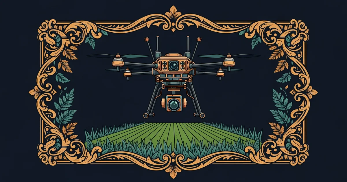
To make this system work, farmers rely on a variety of platforms that carry their sensors high above the ground. Each platform offers a different view and a different level of detail depending on the specific needs of the farm. We can compare these common tools based on how high they fly and what they can see clearly:
| Platform Type | Typical Altitude | Best Use Case |
|---|---|---|
| Handheld Tool | Zero to ten feet | Checking single leaf health |
| Drone System | Low to mid range | Mapping specific field sections |
| Satellite Array | High orbit space | Monitoring entire farm regions |
These platforms do not work alone, as they must carry advanced sensors to record the physical environment effectively. These devices work by recording energy reflected or emitted from the ground surface in various spectrums. Some sensors look at visible light, while others track invisible heat waves coming from the soil. By combining these different data layers, farmers build a complete picture of their field conditions. This integration of data is the primary reason why precision agriculture is so much more efficient than older methods. It allows for targeted care rather than treating an entire field as if it were all the same.
Using these tools, a farmer can identify exactly where to add water or fertilizer to help the plants grow. This means they use fewer resources overall because they are not wasting supplies on healthy spots that do not need them. It is similar to a doctor who only gives medicine to the patient who is actually sick. This precision helps the environment by reducing chemical runoff while also helping the farmer save on costs. As you learn more about this path, you will see how these data points guide every decision on a modern farm.
Remote sensing allows farmers to monitor crop health and resource needs across large areas by collecting light and heat data from a distance.
This path will show you how to turn these remote observations into specific actions that improve crop growth and farm efficiency.