
Geography of Production
Imagine your breakfast plate as a global puzzle where every single ingredient travelled thousands of miles. That morning toast, the coffee, and the fruit bowl represent a complex, invisible network of agricultural production. We often assume food simply appears in supermarkets, but specific geographic conditions dictate exactly where crops grow best. Understanding these patterns reveals how climate, soil health, and local geography shape our survival and the global food supply chain.
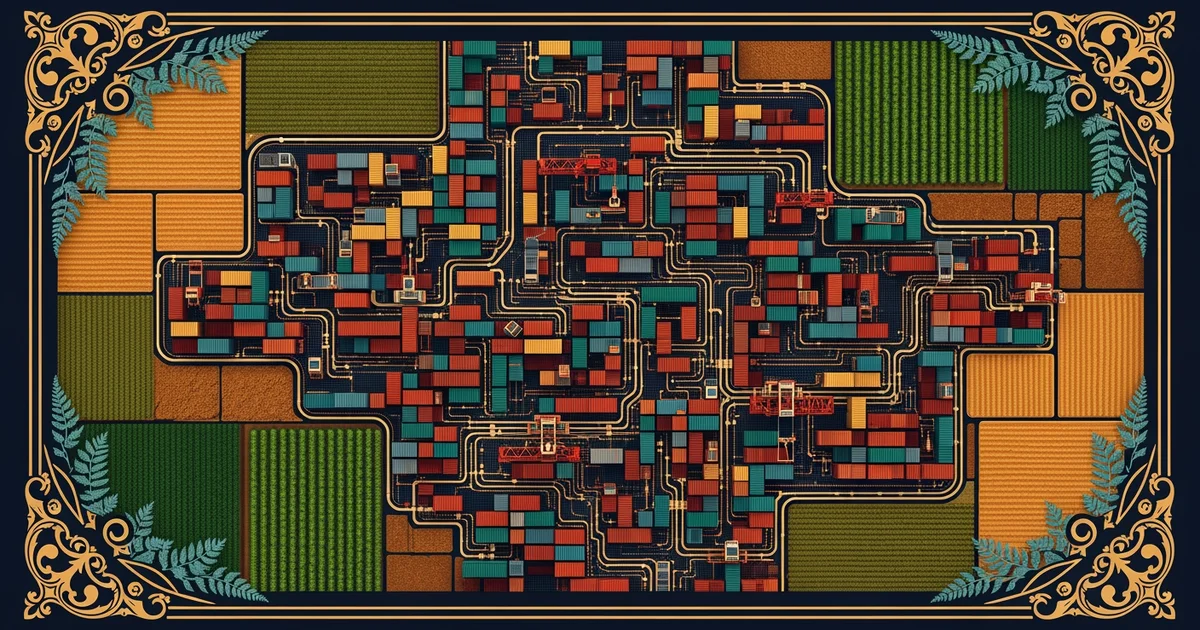
Mapping Global Agricultural Zones
Geography acts as a filter that determines which plants can survive in specific regions of the world. Just as a business chooses a location based on customer access, farmers choose crops based on environmental assets. Tropical zones near the equator provide the consistent heat and moisture required for crops like coffee and cocoa. Conversely, temperate regions with distinct seasonal changes support vast fields of wheat, corn, and soy. These zones are not random; they reflect millions of years of soil development and climate patterns that define agricultural potential.
Key term: Arable land — the specific portion of the Earth's surface capable of being ploughed and used for growing crops.
Farmers must balance these geographic realities with the demands of a growing global population. When we map production, we see that high-yield regions often overlap with river deltas or massive plains. These areas offer nutrient-rich soil deposited by ancient water systems, acting like a natural bank account for minerals. If we ignore these geographic boundaries, we risk exhausting the land and failing to produce enough food for the future. Understanding these constraints helps us see why certain nations lead in specific exports while others focus on different staples.
Factors Influencing Regional Crop Specialization
Beyond simple temperature, several variables dictate why a region focuses on one specific crop over another. Geography dictates the limits of our food systems, and ignoring these physical boundaries often leads to environmental degradation or crop failure. The following table highlights how different environments support specific types of global food production:
| Environment | Primary Crop Types | Key Geographic Driver |
|---|---|---|
| Tropical | Cocoa, Coffee, Tea | Consistent high heat |
| Temperate | Wheat, Corn, Barley | Distinct seasonal cycles |
| Arid/Dry | Dates, Millet, Sorghum | Low water requirements |
Each region faces unique pressures that determine its long-term viability as a food production hub. For instance, wheat requires vast, flat areas where machinery can operate efficiently across thousands of acres. These physical requirements mean that wheat production concentrates in specific "breadbasket" regions across the globe. When we study these regions, we learn that geography is the ultimate architect of our food systems. It dictates not just what we eat, but the logistical hurdles we must overcome to get it.
Consider how an orchard owner manages a farm, selecting only the trees that thrive in local sunlight and soil. Global agriculture functions in the same way, but on a massive scale that spans entire continents. We cannot force a crop to grow where the geography refuses to support it without massive, costly interventions. These interventions, such as irrigation or synthetic fertilizers, often carry hidden costs for the planet. By mapping these zones, we start to see the fragile balance between human hunger and the physical capacity of our Earth.
The geography of production reveals that our food supply depends on matching specific crop needs to the unique environmental assets of different global regions.
Next, we will explore how these raw materials move through the complex web of supply chain logistics.