
Advanced Data Integration
Imagine trying to assemble a massive jigsaw puzzle while the pieces keep shifting under your hands. Astronomers face this exact challenge when they attempt to build high-fidelity models of distant celestial objects using data from different sensors. One telescope might capture clear light images, while another sensor records heat signatures or radio waves. Merging these distinct data layers into a single, accurate 3D model requires sophisticated techniques that align these varied inputs perfectly. Without this integration, our models would remain flat, fragmented, and disconnected from the true nature of the cosmos.
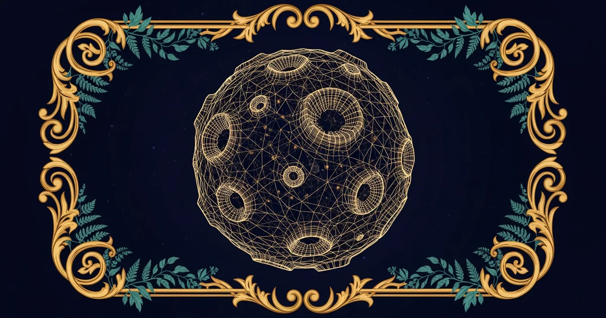
Aligning Diverse Celestial Data Streams
The process begins by normalizing the raw data collected from different instruments across the globe. Each sensor interprets light or energy in a unique way, which means the raw outputs look very different before processing. We must treat this like a translation service that converts multiple languages into a single, shared tongue. Scientists apply mathematical transformations to ensure that pixel coordinates in an optical photo align with thermal map coordinates. By synchronizing these spatial frames, researchers create a unified foundation for the reconstruction process. This alignment ensures that every feature, from a crater to a cloud, sits in its correct physical location.
Key term: Data Fusion — the process of integrating multiple data sources to produce more consistent, accurate, and useful information than any individual source could provide on its own.
Once the data is aligned, we use Astro-photogrammetry to bridge the gap between flat images and three-dimensional depth. This technique relies on finding matching features across multiple angles to calculate the distance of objects in space. If you look at a mountain from two different hiking trails, your brain uses those two perspectives to judge how far away the peak is located. Computers perform a similar task by comparing overlapping images of a celestial body taken at different times or from different orbital positions. This triangulation allows us to map the surface topology with extreme precision, turning flat pixels into a textured 3D landscape.
Merging Sensor Inputs for High Fidelity
After establishing the basic shape, we must overlay the spectral data to fill in the missing details. While photogrammetry gives us the height and depth of a crater, spectral sensors tell us exactly what materials exist within that crater. By layering these inputs, we create a model that shows both the physical structure and the chemical composition of the object. This integration requires high-speed computing to handle the massive volumes of data involved in such complex simulations. The result is a high-fidelity model that mimics the real object with startling accuracy, allowing researchers to study distant worlds as if they were standing right next to them.
| Sensor Type | Primary Data Output | Role in Reconstruction |
|---|---|---|
| Optical | Surface Visuals | Defining boundaries |
| Thermal | Temperature Maps | Identifying active zones |
| Radio | Structural Density | Mapping internal layers |
We must consider how this synthesis addresses the foundation question of transforming flat images into 3D models. By combining optical, thermal, and radio data, we move beyond simple visual representations to create a comprehensive digital twin. This approach resolves the tension between needing high resolution and needing deep physical data. It allows us to synthesize the exoplanet visualization methods from earlier stations with the structural mapping we do today. As we refine these integration techniques, we move closer to solving the mystery of how distant objects truly function in the vastness of space.
High-fidelity cosmic modeling requires the seamless integration of diverse sensor inputs to create a complete, three-dimensional understanding of celestial environments.
The next step involves exploring how these advanced mapping techniques will define the future of cosmic discovery.