
Surface Texture Mapping
Imagine wrapping a gift with a complex shape using a single, flat sheet of paper. You must stretch and fold the paper carefully so the pattern aligns perfectly with the corners. Astronomers face this exact challenge when they apply flat, two-dimensional photographs to the complex, three-dimensional surfaces of distant moons or asteroids. This process, known as texture mapping, turns a simple wireframe shape into a realistic model.
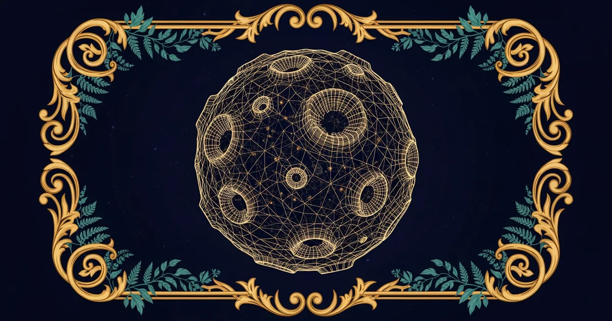
The Geometry of Surface Projection
When scientists create a 3D model, they start with a geometric mesh made of thousands of tiny triangles. This skeleton defines the shape, but it lacks the visual detail required to study geological features like craters or ridges. To solve this, researchers use texture mapping to stretch high-resolution images across the mesh. Think of this like a tailor fitting a custom suit; if the fabric does not align with the limbs of the wearer, the final garment looks distorted and strange. By mapping each pixel from the original image to a specific coordinate on the 3D surface, scientists ensure that every mountain and valley appears exactly where it should be.
Key term: Texture mapping — the digital process of wrapping a two-dimensional image around a three-dimensional object to add surface detail.
This mapping process relies on a technique called UV unwrapping to translate 3D coordinates into 2D space. Imagine peeling the skin off an orange and laying it flat on a table to see the entire surface at once. Computers perform this same action by creating a map that tells the software which part of the photo belongs on which part of the 3D mesh. Without this step, the image would appear stretched or bunched up in ways that hide important scientific data.
Aligning Visual Data with Physical Models
Once the computer understands how to wrap the image, it must adjust for the specific lighting conditions present when the original photo was captured. Space probes often take pictures from different angles, which creates varying shadows across the surface of the celestial object. To create a seamless model, software must blend these overlapping images into one single, high-fidelity texture file. This process is much like a construction project where you must ensure all materials arrive at the site in the correct order to avoid structural errors.
To ensure accuracy during this blending process, researchers follow these essential steps:
- Image Alignment: The software identifies common landmarks in multiple photos to anchor the images together in a shared coordinate system.
- Shadow Removal: Algorithms calculate the sun's position during the capture to neutralize harsh shadows that might hide small surface features.
- Resolution Balancing: Different images are combined so that the final texture maintains a consistent level of detail across the entire 3D object.
- Surface Integration: The final processed image is projected onto the 3D mesh to create a realistic visual representation for further analysis.
By following these steps, scientists can turn flat data into a tool for exploration. This allows researchers to rotate the object in virtual space and view it from any angle, which provides a much better understanding of its true physical nature. This digital reconstruction is vital for planning future missions that might land on these distant worlds.
The Role of Resolution in Mapping
The quality of the final 3D model depends heavily on the resolution of the source images used for the mapping. If the source photo is blurry, the resulting 3D model will also lack sharp detail, no matter how precise the mesh is. Scientists must balance the need for high-resolution images with the processing power required to render them on a computer. This trade-off is similar to choosing how much money to spend on a home renovation; you want the best materials, but you must stay within your budget constraints to finish the project successfully. High-quality textures allow for the discovery of small features like boulders or surface cracks that might otherwise remain invisible to the naked eye.
Applying high-resolution images to a 3D mesh allows scientists to transform flat, two-dimensional space data into a realistic, navigable model of a celestial body.
But what does it look like in practice when we attempt to fix the inevitable distortions that occur during this projection process?