
Earth Density Models
Imagine you are trying to guess the weight of a wrapped gift box without using a scale. You might shake the box to feel how the weight shifts or tap the sides to hear if it sounds solid or hollow. Scientists use this same logic to understand the interior of our planet because we cannot drill through the entire Earth to reach the center. By measuring how seismic waves travel through different materials, we create a map of the density hidden beneath our feet. This process helps us uncover the secrets of the layers that make up our world.
Understanding Planetary Density
To understand the composition of the Earth, we must first define the concept of density. Density describes how much mass exists within a specific volume of space. You can calculate this by dividing the total mass by the volume, written as . If you imagine a suitcase packed with heavy rocks compared to one filled with light feathers, the suitcase with rocks has a much higher density. Our planet functions like a giant, layered suitcase where the heaviest materials have settled deep toward the center. This arrangement occurs because gravity pulls denser materials inward during the early stages of planetary formation.
Key term: Density — the measurement of how much mass is packed into a specific amount of space.
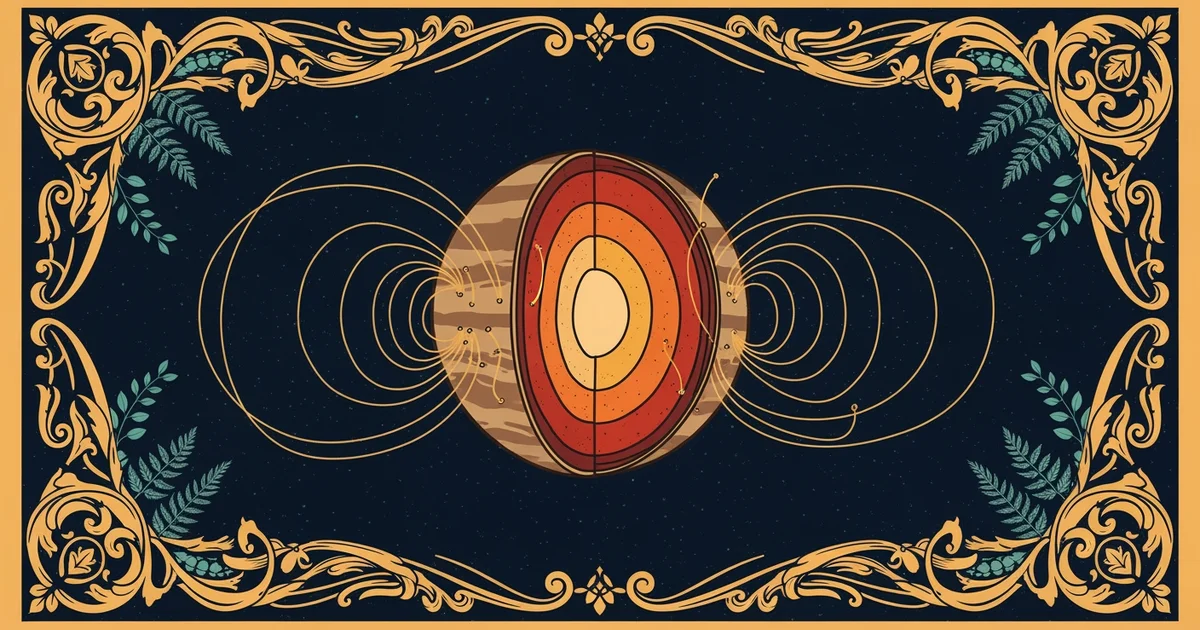
When we look at the Earth, we see that it is not a uniform ball of rock. The crust is made of lighter silicate minerals, while the core contains dense iron and nickel. We know this because seismic waves speed up as they pass through denser material and slow down in less dense areas. Think of this like a runner moving through deep water versus running on a hard track. The runner faces more resistance in the water, just as seismic waves face resistance when moving through the high-pressure environment of the deep Earth.
Mapping Layers Through Mass Distribution
We can determine the mass distribution of the planet by looking at how gravity behaves on the surface. If the Earth were a uniform sphere, gravity would feel the same everywhere, but it actually varies slightly from place to place. These variations happen because the mass inside the Earth is distributed unevenly across different regions. By using satellite data to measure these small shifts, researchers can create a model of the internal structure. This model shows us exactly where the mantle is thicker or where the core might have different compositions.
We categorize the internal layers based on their density and state of matter:
- The crust serves as the thin, outer shell that contains the least dense rock found on our planet.
- The mantle makes up the largest portion of the Earth by volume and consists of semi-solid rock material.
- The outer core acts as a liquid layer of metal that generates the magnetic field protecting our atmosphere.
- The inner core remains a solid, highly dense sphere of metal kept in place by immense pressure.
This layered structure is essential for life because it drives the movement of tectonic plates. The heat from the dense core rises through the mantle, creating currents that shift the continents over millions of years. Without this internal heat engine, the Earth would be a cold and geologically dead planet. Understanding these density models allows us to predict volcanic activity and earthquake patterns more accurately than ever before. We turn these complex measurements into clear visual maps that represent the hidden reality of our world.
Earth density models allow scientists to calculate the composition of planetary layers by measuring how mass and gravity interact deep beneath the surface.
Now that we understand how the planet is layered by density, we will explore how these variations create changes in the gravitational field at the surface.