Geological Risk Mapping
Imagine a massive skyscraper built on top of a giant, wobbly bowl of jelly. If the ground beneath your feet vibrates, the structure above will sway, tilt, or even collapse because the foundation cannot hold its shape. This illustrates the core challenge engineers face when they analyze the ground before breaking any dirt for construction projects. Geological risk mapping acts as the blueprint for understanding how different types of earth will react when seismic waves hit an area during a major earthquake.
Understanding Soil Composition
Engineers must first assess the physical properties of the local soil to predict how it will behave during a disaster. Some soils consist of dense, solid rock that remains stable during intense ground shaking. Other locations contain loose, water-saturated sediment that behaves like a thick liquid when seismic energy passes through the layers. This phenomenon, known as soil liquefaction, creates a major danger because the ground loses its ability to support heavy structures. When the soil turns into a slurry, the buildings above it sink or lean into the unstable earth. Engineers map these zones to ensure that they do not place critical infrastructure on ground prone to this dangerous transition.
Key term: Soil liquefaction — the process where water-saturated soil loses its strength and acts like a liquid during seismic shaking.
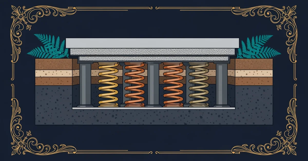
The Impact of Wave Amplification
Beyond the risk of shifting ground, the specific composition of the soil layers changes how seismic waves move toward the surface. When waves travel from deep, hard rock into soft, loose surface soil, they often increase in speed and intensity. This process is called wave amplification, and it creates much stronger shaking at the surface than the earthquake might otherwise produce. Think of this like a sound wave traveling through a megaphone; the narrow opening forces the energy to concentrate, making the output much louder than the original input. Engineers use these maps to determine if a site will experience amplified shaking. They adjust their designs to include extra reinforcement for buildings located on these high-risk soil types.
To manage these risks, engineers categorize sites based on their geological stability and expected wave response:
- Bedrock sites provide the most stable foundation because solid rock does not amplify waves or liquefy, making it the safest choice for heavy urban infrastructure projects.
- Stiff soil sites offer a moderate level of safety, though engineers must calculate the specific density to ensure that the structure can withstand predicted levels of ground motion.
- Soft sediment sites present the highest level of danger, requiring deep foundation pilings that reach down into stable rock layers to prevent the building from shifting during an event.
Analyzing Geological Data
Engineers synthesize this data into a visual map that guides urban planning and construction safety standards across an entire city. By overlaying seismic history with soil density data, they create a clear picture of high-risk zones where building codes must be strictly enforced. This mapping allows cities to direct resources toward reinforcing older structures that sit on dangerous soil types. It also dictates where new development can safely occur, ensuring that future growth does not place people in unnecessary danger. Through these detailed maps, engineers transform abstract geological data into actionable safety measures that protect communities from the unpredictable force of nature.
Geological risk mapping allows engineers to predict how different ground conditions will amplify seismic energy or fail, enabling the design of structures that remain stable on unstable earth.
The next Station introduces network interdependence, which determines how critical infrastructure systems like power and water grids rely on one another during a crisis.