
Mapping the Past
Imagine looking at an old treasure map that shows islands which no longer exist on modern globes. You might wonder if those islands were real or just mistakes made by sailors who had lost their way at sea.
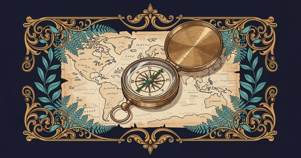
The Language of Historical Maps
Studying old maps allows us to see how people once viewed their place in a growing world. Cartography acts as a visual language that records the shifting boundaries of empires and nations over many centuries. When we look at these documents, we are not just seeing drawings of land but also the political goals of the past. A mapmaker often included features that their patrons wanted to see, such as claimed territories or strategic trade ports. This practice makes every map a unique reflection of the specific time it was created. By comparing these old drawings to our modern satellite data, we can identify exactly where human perception drifted from the physical reality of the earth. We learn that history is not just a collection of dates, but a living record of how humans defined their own borders.
Key term: Cartography — the science and art of making maps that represent geographic features and human territorial claims.
Maps function much like a budget for a household because they force us to prioritize certain features over others. If you have limited space on a page, you must decide which landmarks are worth drawing in detail. Just as a family might spend more money on housing than on entertainment, a mapmaker might emphasize mountain ranges while ignoring smaller coastal towns. This selective process means that every map tells a story about what the society valued most during that era. Understanding these choices helps us interpret why certain regions were considered vital while others were left blank or vague. We can see the priorities of the past by looking at what the mapmaker chose to highlight with ink and color.
Interpreting Shifting Territorial Boundaries
When we analyze how borders have moved, we gain a clear view of the complex conflicts that shaped our current nations. Historical maps reveal that boundaries were rarely permanent lines on the ground. Instead, they were often fluid zones that expanded or contracted based on military strength and diplomatic success. By observing these changes, we can track the rise and fall of various powers across the globe. The following table highlights how different types of geographic information help us understand these shifts in human history.
| Feature Type | Historical Purpose | Modern Insight |
|---|---|---|
| Coastal Lines | Navigational aid | Climate change |
| Border Zones | Military control | Cultural impact |
| Trade Routes | Economic wealth | Global network |
We must remember that these maps were often created with limited technology and tools. A mapmaker might have used estimations based on travel time rather than precise measurements of distance. This explains why some regions appear distorted or larger than they truly are on ancient maps. Recognizing these distortions is a critical step in learning how to read the past correctly. We should view these maps as tools for communication rather than as perfect scientific records of the physical surface.
- First, we identify the era of the map to understand the available technology.
- Next, we compare the drawn borders against known geographical landmarks like rivers.
- Finally, we analyze the labels used for regions to infer the political intent.
By following these steps, we can turn a simple drawing into a source of deep historical knowledge. We move from seeing lines on paper to understanding the actual struggles of people who lived long ago. Every border we see on a map today is the result of these long-term historical processes. We are essentially living in a world that is defined by the mapmaking decisions of our ancestors.
Historical maps serve as vital records that reveal how human values and political goals have continuously redefined our global geography over time.
Next, we will explore how these changing maps influenced the development of global trade routes and the expansion of early civilizations.