
Mapping the Unknown
Imagine you are trying to navigate a dense, unfamiliar forest without a map or a compass. Every step feels uncertain because you cannot see the path ahead or the borders of the woods. This is exactly how early empires felt as they expanded into unknown territories across the globe. Without clear charts, leaders risked sending resources into regions that did not exist or missing valuable lands entirely. Cartography became the essential tool for turning the unknown into a manageable asset for imperial growth.
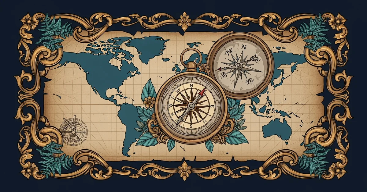
The Strategic Power of Cartography
When nations began to document geography, they transformed raw wilderness into political property that they could claim. This process of cartography turned physical landscapes into visual records that leaders could study from their distant desks. Imagine a business owner who uses a spreadsheet to track store locations across a city. The spreadsheet does not build the stores, but it allows the owner to decide where to send staff and supplies. Maps functioned as these spreadsheets for early empires by highlighting where to establish outposts and trade routes.
Key term: Cartography — the science or practice of drawing maps to represent physical features and human borders.
These early maps were not just pictures of coastlines, but they were also blueprints for control and expansion. By drawing lines on a map, a country could declare an area as its own territory. This act often forced other nations to respect those boundaries or face conflict. The map acted as a silent diplomat that communicated ownership to anyone who viewed it. If a region appeared on a map, it gained a sense of legitimacy that encouraged further investment and military protection.
Shifting Borders and Territorial Expansion
As explorers returned with new data, the borders on these maps shifted to reflect changing power dynamics. A territory that belonged to one nation today might be claimed by another tomorrow based on a new survey. This constant evolution of borders created a competitive environment where mapmaking was a high-stakes activity. Nations invested heavily in skilled mapmakers to ensure their claims were the most accurate and convincing. These maps served as the primary evidence in diplomatic arguments about who owned specific resources or land.
Countries used these maps to manage their growth through specific methods:
- Visualizing resources by marking locations of gold, spices, or timber to attract merchants and settlers.
- Defining administrative zones that allowed the central government to collect taxes and enforce laws effectively.
- Creating defensive perimeters that helped military commanders identify natural barriers like rivers or mountain ranges.
These methods allowed empires to expand their reach far beyond their original borders without needing to be physically present in every location at once. The map provided the necessary oversight to coordinate activities across thousands of miles of ocean or land. This level of organization was only possible because leaders could visualize the entire operation through the lens of a single, detailed chart. The map essentially acted as the command center for the entire imperial expansion effort.
| Feature | Purpose in Expansion | Impact on Empire |
|---|---|---|
| Coastlines | Navigational safety | Faster trade routes |
| Boundaries | Legal ownership | Reduced border disputes |
| Topography | Resource planning | Efficient land usage |
By comparing these features, we see that maps were not just static drawings but active tools for development. Each line added to a map represented a decision to commit people and money to a specific place. This process created a feedback loop where maps drove expansion, and expansion provided the data for better maps. This cycle allowed empires to grow rapidly while maintaining a sense of order over their distant holdings. The ability to map the unknown was the true engine that powered the rise of large, interconnected global empires during this era.
Accurate maps served as the foundational infrastructure for imperial growth by turning abstract geography into actionable political and economic territory.
The next Station introduces Polar Exploration History, which determines how extreme environments challenged the limits of traditional mapping techniques.