
The Art of Mapping
Imagine you are trying to describe the layout of your entire neighborhood to someone who has never visited. You could try to explain every single street corner and tree, but the person would quickly become confused by the sheer volume of details. Instead, you would draw a simple sketch on a napkin that highlights only the most important routes and landmarks. This is the essence of how we interact with our world through visual representations. We simplify complex reality so that we can navigate it with ease and accuracy.
The Purpose of Representation
Modern cartography is the science and art of making maps that serve as tools for human navigation. When we look at a map, we are not looking at the actual earth but a symbolic version of it. This process requires us to shrink vast mountain ranges and oceans into a space that fits inside our pockets or on our digital screens. We must choose which features, such as highways or rivers, are essential for the user to see clearly. By removing unnecessary clutter, we create a clear path that helps people solve problems and find their way across large distances.
Key term: Cartography — the organized practice of creating and studying maps to represent physical geographic features.
Think of a map as a financial budget for your time and space. Just as a budget ignores the small change in your pocket to focus on your major monthly expenses, a map ignores minor details like individual bushes to focus on major roads. If we included every single blade of grass on a map, the image would become too crowded to read. By prioritizing the most useful information, we ensure that the map remains a functional tool for daily life rather than a messy, useless drawing.
Translating Reality to Flat Space
To represent our curved planet on a flat surface, map makers use a process called projection. Because the earth is a sphere, flattening it always creates some distortion in the shapes or sizes of landmasses. We accept these small errors because the benefit of having a portable, flat map outweighs the perfect accuracy of a globe. This trade-off allows us to measure distances and identify locations without needing to carry a heavy, round object everywhere we go.
Different types of maps serve different needs based on the specific information they provide to the user:
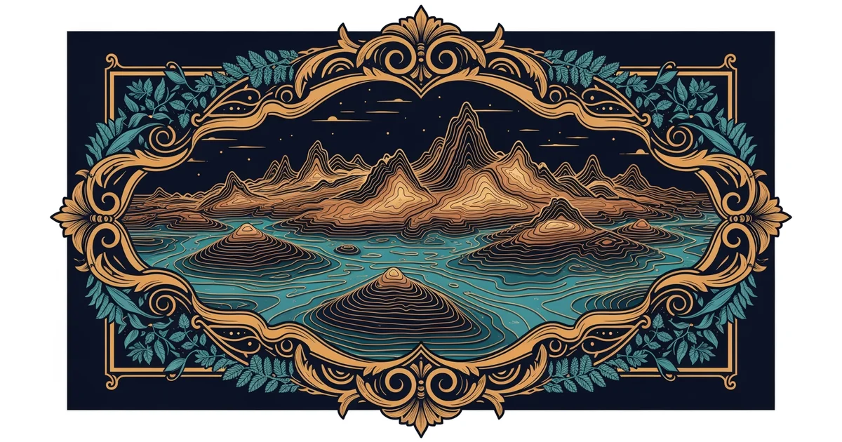
- Topographic maps show the elevation of the land by using contour lines to mark changes in height.
- Political maps display the borders of countries and states to help users understand human-made land divisions.
- Thematic maps focus on specific data sets like population density or climate patterns across a large region.
Each of these maps simplifies the world in a unique way to highlight one specific type of geographic truth. By choosing the right tool for the task, we can visualize complex environmental or social data effectively.
| Map Type | Primary Focus | Best Use Case |
|---|---|---|
| Topographic | Land elevation | Hiking and planning |
| Political | Human borders | Studying world affairs |
| Thematic | Specific data | Analyzing regional trends |
By organizing information into these categories, we can interpret the world through a structured lens that makes sense of chaotic physical reality. We do not need to see the whole earth at once to understand where we are standing. We only need the specific layer of information that matches our current goal or our immediate travel needs.
Maps act as essential filters that translate the complex, three-dimensional world into simplified, actionable information for human use.
By mastering these foundational concepts, you will gain the skills to navigate global data and interpret the world through advanced geospatial analysis.